Summary
The ideal streamflow range for this river is between 300-500 cfs. This particular river is rated as a Class III-IV, making it suitable for intermediate and advanced paddlers. The segment mileage of Little Lost Lake Creek is approximately 7.5 miles, with a put-in at the junction of the East and West Forks and a take-out at the Salmon River.
The river features several notable rapids and obstacles, including Upper and Lower Little Lost Falls, Devil's Tooth, and the Narrows. Upper and Lower Little Lost Falls are both Class IV rapids that require precise navigation and solid technical skills. Devil's Tooth is a narrow chute that requires a sharp turn and quick reflexes to navigate safely. The Narrows are a series of rapids that require careful maneuvering around rocks and boulders.
There are specific regulations and guidelines in place for paddlers on Little Lost Lake Creek. All boaters are required to carry and wear proper safety equipment, such as a personal flotation device and a helmet. Additionally, motorized boats are prohibited on this river, and camping is only permitted in designated areas.
°F
°F
mph
Wind
%
Humidity
15-Day Weather Outlook
River Run Details
| Last Updated | 2025-06-28 |
| River Levels | 2300 cfs (7.45 ft) |
| Percent of Normal | 39% |
| Status | |
| Class Level | iii-iv |
| Elevation | ft |
| Streamflow Discharge | cfs |
| Gauge Height | ft |
| Reporting Streamgage | USGS 12414500 |
5-Day Hourly Forecast Detail
Nearby Streamflow Levels
Area Campgrounds
| Location | Reservations | Toilets |
|---|---|---|
 Orphan Point Saddle
|
||
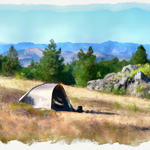 Orphan Saddle
|
||
 Crater Peak
|
||
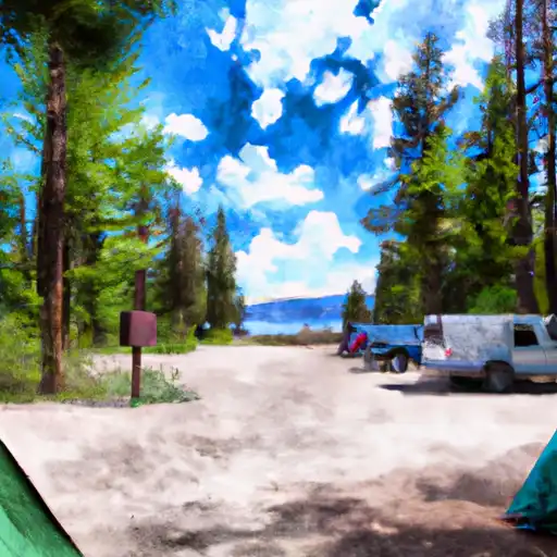 Camp 3
|


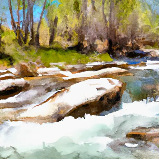 Little Lost Lake Creek
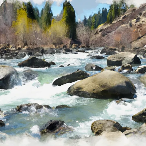 Lost Lake Creek
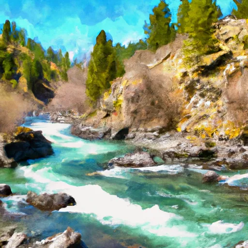 Little North Fork Clearwater River
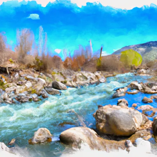 Lund Creek