Summary
It is a concrete boat ramp that provides access to the water for boaters.
According to the latest information available, the Kootenai County boat ramp is approximately 20 feet wide, which is wide enough for most boats to launch and retrieve safely. The ramp is designed to accommodate a range of watercraft, from small fishing boats to larger recreational vessels.
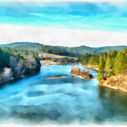
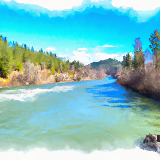
The Kootenai County boat ramp services the nearby Coeur d'Alene River, a popular destination for boaters and fishermen in the area. The river is known for its clear waters and abundant fish populations, including trout, bass, and salmon.
According to Idaho state regulations, all motorized watercraft must display a valid registration sticker and follow speed limits and other rules while on the water. Non-motorized watercraft, such as canoes and kayaks, are also permitted on the Coeur d'Alene River.
Overall, the Kootenai County boat ramp provides a convenient and safe way for boaters and fishermen to access the Coeur d'Alene River and enjoy the natural beauty of the Idaho wilderness.
°F
°F
mph
Wind
%
Humidity

 Kootenai County
 Mineral Ridge Boat Launch
 Blue Creek Bay Recreation Site
 Mineral Ridge Scenic Area and Trail
 Cataldo Mission To Coeur D'Alene Lake
 Confluence North Fork Coeur D'Alene River To Cataldo Mission
 Coeur D"Alene River, Sec. 8, T49N, R2E To Honey Mountain, Sec. 32, T53N, R1W