Summary
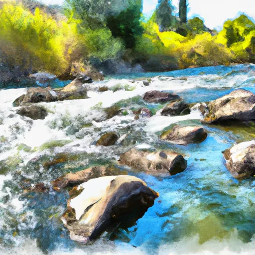
The ideal streamflow range for the river is between 400 and 800 cubic feet per second (cfs), which typically occurs during the spring snowmelt season. The river is rated as a Class IV-V, meaning it is suitable for experienced and skilled whitewater paddlers only. The segment mileage of the river is approximately 8 miles, starting at the North Fork Campground and ending at the Middle Fork of the Payette River.
The North Fork of Boulder Creek features several challenging rapids, including the "S-Turn" and "The Notch," which require precise maneuvering to navigate successfully. The river also contains several technical drops and obstacles, such as boulder gardens and steep chutes. Paddlers should be aware of potential hazards, such as undercut rocks and strainers, and should always wear a helmet and personal flotation device.
Specific regulations to the area include the requirement for a permit to launch a boat on the river, as well as restrictions on camping and campfires. The use of motorized boats is also prohibited on the North Fork of Boulder Creek. Paddlers should be prepared to pack out all trash and follow Leave No Trace principles to protect the natural beauty of the area.
Overall, the North Fork of Boulder Creek offers a thrilling and challenging whitewater experience for experienced paddlers, but it is important to respect the regulations and potential hazards of the river to ensure a safe and enjoyable trip.
°F
°F
mph
Wind
%
Humidity
15-Day Weather Outlook
River Run Details
| Last Updated | 2025-06-28 |
| River Levels | 8220 cfs (22.42 ft) |
| Percent of Normal | 101% |
| Status | |
| Class Level | iv-v |
| Elevation | ft |
| Streamflow Discharge | cfs |
| Gauge Height | ft |
| Reporting Streamgage | USGS 13172500 |
5-Day Hourly Forecast Detail
Nearby Streamflow Levels
 Snake River Nr Murphy Id
|
6340cfs |
 Ef Owyhee River At Crutcher Crossing
|
56cfs |
 Owyhee River Nr Rome Or
|
211cfs |
 Bruneau River Nr Hot Spring Id
|
102cfs |
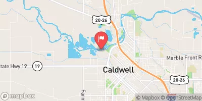 Boise River At Caldwell
|
542cfs |
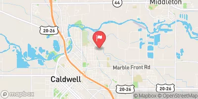 Mason Creek Nr Caldwell Id
|
46cfs |


 North Fork Boulder Creek
 Rock Creek
 Boulder Creek