Make an Announcement

Communicate warnings, disperse advice, and share.


BOUNDARY CREEK TO CACHE BAR

Whitewater River Run


Idaho Salmon River, Middle Fork

Boundary Creek To Cache Bar

Class III TO IV+

STREAMFLOW: 11,700 CFS

Runnable
83°, Sunny Then Chance T-Storms

The Bottom section of the river run in Idaho, from Fowlersville to Lyons Falls, is approximately 13 miles long and offers a Class III-IV whitewater experience. 
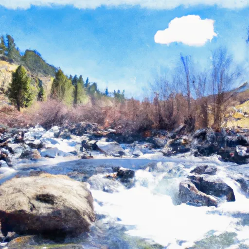
The river features a number of challenging rapids, including Devil's Tooth, The Narrows, and the aptly named Hell's Hole. The best time to float this section is typically from May to early June, when water levels are high enough to make for an exciting ride. Recommended flows for this section range from 1,200 to 3,000 cfs. Overall, this is a thrilling stretch of river that should only be attempted by experienced paddlers.

Weather today, A 30 percent chance of showers and thunderstorms after noon. Mostly sunny, with a high near 83. Calm wind becoming east 5 to 7 mph in the morning.

Status Runnable
Class Level III to IV+
Elevation 3,017 ft
Run Length 100.0 Mi
Streamflow Discharge 11700 cfs
Gauge Height 38.8 ft
Reporting Streamgage Middle Fork Salmon River At Mouth Nr Shoup Id
USGS 13310199

Nearby Streamflow Levels
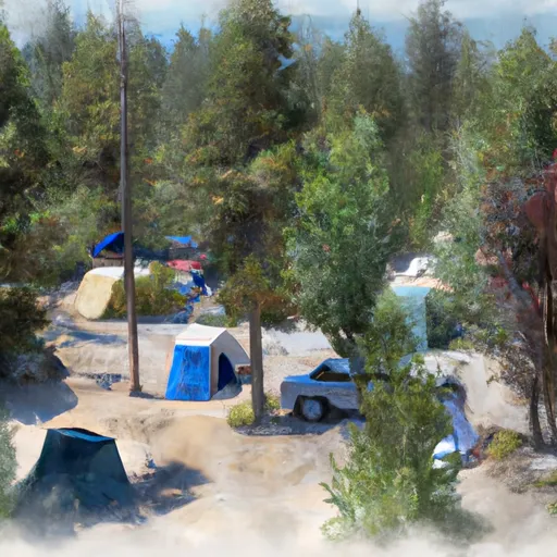
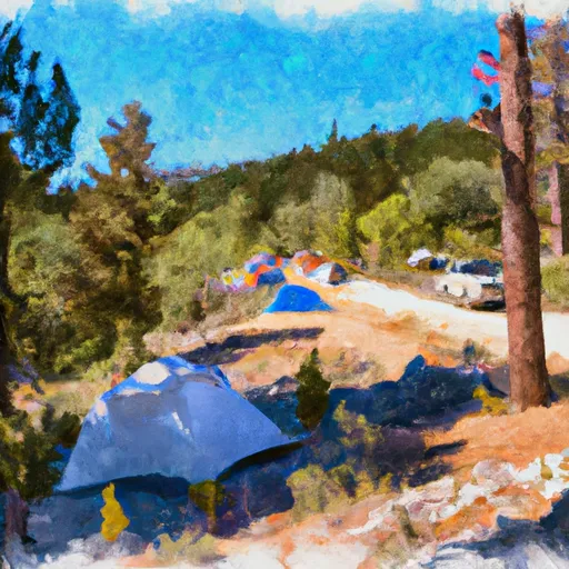
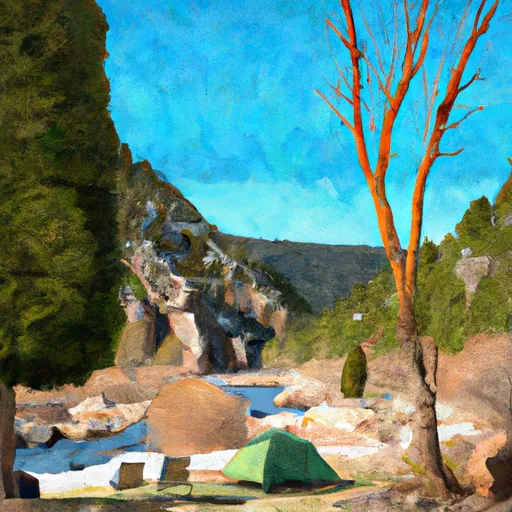
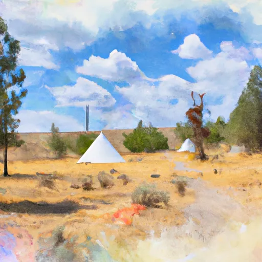
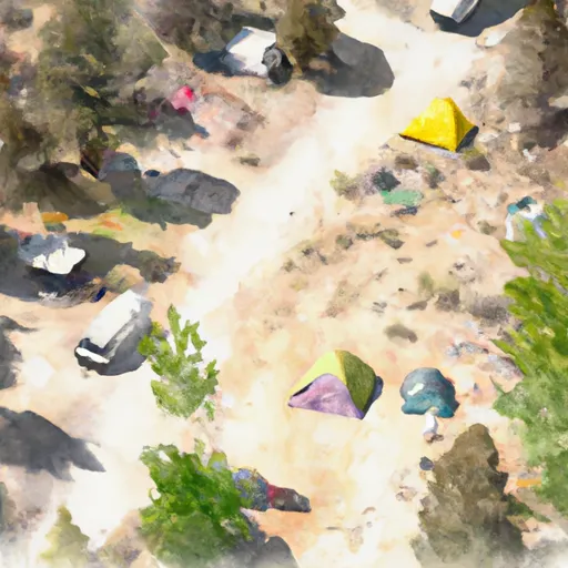
Gauge Streamflow Stage
Boise River Nr Twin Springs Id
USGS 13185000
4,700 cfs 9.9 ft
Middle Fork Payette River Nr Crouch Id
USGS 13237920
1,270 cfs 8.4 ft
Meadow Creek Nr Stibnite
USGS 13310850
2 cfs 3.3 ft
Mores Creek Ab Robie Creek Nr Arrowrock Dam Id
USGS 13200000
547 cfs 3.8 ft
Sf Boise River At Neal Bridge Nr Arrowrock Dam Id
USGS 13192200
360 cfs 7.2 ft
Johnson Creek At Yellow Pine Id
USGS 13313000
1,560 cfs 4.5 ft
Sf Salmon River Nr Krassel Ranger Station Id
USGS 13310700
1,830 cfs 5.3 ft
Middle Fork Salmon River At Mouth Nr Shoup Id
USGS 13310199
11,700 cfs 38.8 ft
Sf Payette River At Lowman Id
USGS 13235000
3,320 cfs 5.8 ft
Valley Creek At Stanley Id
USGS 13295000
688 cfs 2.3 ft
Snotel Site Snowpack 24hr Change

Popular Destinations

Campground Campsites Reservations Toilets Showers Elevation
Fir Creek 5 6,343 ft
Bonneville 22 4,673 ft
Ice Hole 10 5,031 ft
Boundary Creek /Complex 35 5,700 ft
Bull Trout Lake 30 6,985 ft
Lola Creek C/G 27 6,469 ft
Grandjean 31 5,182 ft
Dagger Falls 14 5,758 ft
Thatcher C/G 5 6,605 ft
Bear Valley 10 6,405 ft
Bench Creek C/G 5 6,946 ft
Josephus Lake 14 7,039 ft
Golden Gate 9 4,817 ft
Helende 10 4,189 ft
Ski Area Snowpack Air Temperature 5 Day Forecast
River Run Streamflow Length Class

Log Your Visit

When was your last visit to Boundary Creek to Cache Bar?

Add a Photo

How was it? How were conditions?

Rate the paddle


Submit

Leave A Review

Boundary Creek To Cache Bar

Submit

Upload an Image

Boundary Creek To Cache Bar
Login

Need an Account?

Forgot Your Password?

Delete User Account

Welcome to Snoflo


Continue with a free account

Already Have an Account?


Snoflo Premium

Your first week's free. Cancel anytime

Have a Promo Code?


Already Have an Account?

Signup for Basic Access


Welcome to Snoflo


Continue with a free account

Add Snoflo Premium


Already Have an Account?


Please Verify Your Account

Favorite Limit Reached
Signup for a Free Account

Already Have an Account?