Make an Announcement

Communicate warnings, disperse advice, and share.


BOUNDARY CREEK TO CACHE BAR

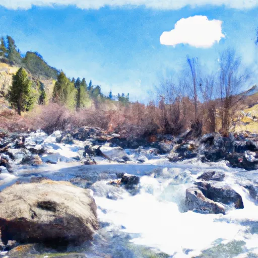
Whitewater River Run


Idaho Salmon River, Middle Fork

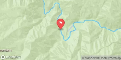
Boundary Creek To Cache Bar

Class III TO IV+ Easy

997 CFS

Too Low
44°, Partly Sunny

Suggested river levels for paddling this section of the Salmon River, Middle Fork are between a bare minimum of 1,000cfs and a high of 12,000cfs. River conditions sourced from USGS 13310199, the Middle Fork Salmon River At Mouth Nr Shoup Id Remember only watercraft are permitted at Boundary Creek to Cache Bar.

Status Too Low
Class Level III to IV+
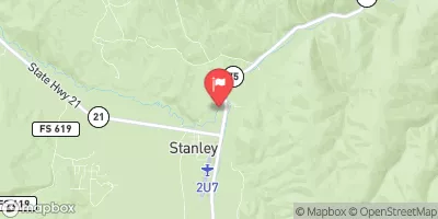
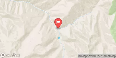
Elevation 3,017 ft
Run Length 100.0 Mi
Streamflow Discharge 997 cfs
Gage Height 30.9 ft
Reporting Streamgage Middle Fork Salmon River At Mouth Nr Shoup Id
USGS 13310199

Nearby Snowpack and Water Data

Gauge Streamflow Stage
Salmon River Bl Yankee Fork Nr Clayton Id
USGS 13296500
426 cfs 2.0 ft
Efsf Salmon R Abv Meadow Crk Nr Stibnite
USGS 13310800
3 cfs 14.7 ft
Johnson Creek At Yellow Pine Id
USGS 13313000
71 cfs 2.0 ft
Mf Salmon River At Mf Lodge Nr Yellow Pine Id
USGS 13309220
507 cfs 1.5 ft
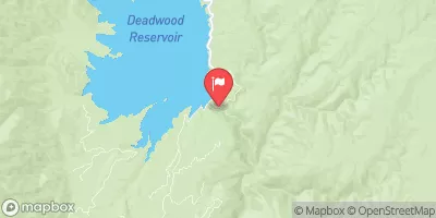
Deadwood River Bl Deadwood Res Nr Lowman Id
USGS 13236500
50 cfs 2.1 ft
Efsf Salmon R Abv Sugar Crk Nr Stibnite
USGS 13311250
8 cfs 10.2 ft
Ef Of Sf Salmon River At Stibnite Id
USGS 13311000
7 cfs 4.8 ft
Sf Payette River At Lowman Id
USGS 13235000
351 cfs 3.3 ft
Sugar Creek Nr Stibnite
USGS 13311450
7 cfs 6.8 ft
Meadow Creek Nr Stibnite
USGS 13310850
2 cfs 3.3 ft
Snotel Site Snowpack 24hr Change
Graham Guard Sta.
SNOTEL 496
48" 0"
Camas Creek Divide
SNOTEL 382
64" -2"
Atlanta Summit
SNOTEL 306
110" -1"
Cozy Cove
SNOTEL 423
54" 0"
Galena Summit
SNOTEL 490
84" -2"
Jackson Peak
SNOTEL 550
87" -4"
Mores Creek Summit
SNOTEL 637
90" 0"
Deadwood Summit
SNOTEL 439
110" -2"
Dollarhide Summit
SNOTEL 450
95" -2"
Soldier R.S.
SNOTEL 769
47" -2"
Trinity Mtn.
SNOTEL 830
125" -2"
Galena
SNOTEL 489
69" -4"
Big Creek Summit
SNOTEL 338
86" -2"
Banner Summit
SNOTEL 312
83" -3"

Popular Destinations

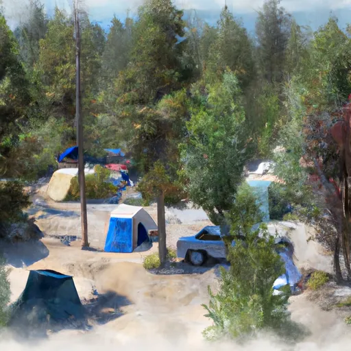
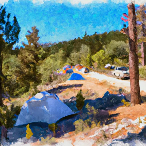
Campground Campsites Reservations Toilets Showers Elevation
Boundary Creek /Complex 35 5,700 ft
Bear Valley 10 6,405 ft
Bench Creek C/G 5 6,946 ft
Dagger Falls 14 5,758 ft
Lola Creek C/G 27 6,469 ft
Bull Trout Lake 30 6,985 ft
Fir Creek 5 6,343 ft
Ski Area Snowpack Air Temperature 5 Day Forecast
River Run Streamflow Length Class
Boundary Creek to Cache Bar 997.0cfs 100.0 Mi III to IV+

Log Your Visit

When was your last visit to Boundary Creek to Cache Bar?

Add a Photo

How was it? How were conditions?

Rate the paddle


Submit

Leave A Review

Boundary Creek To Cache Bar

Submit

Upload an Image

Boundary Creek To Cache Bar
Login

Need an Account?

Forgot Your Password?

Delete User Account

Welcome to Snoflo


Continue with a free account

Already Have an Account?


Snoflo Premium

Your first week's free. Cancel anytime

Have a Promo Code?


Already Have an Account?

Signup for Basic Access


Welcome to Snoflo


Continue with a free account

Add Snoflo Premium


Already Have an Account?


Please Verify Your Account

Favorite Limit Reached
Signup for a Free Account

Already Have an Account?