Cave Falls Run
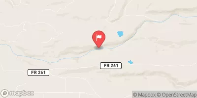
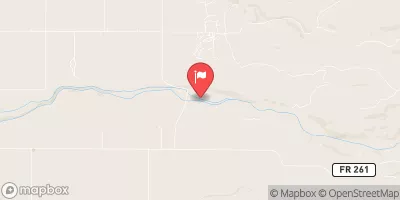
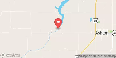
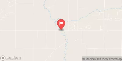
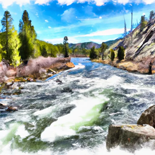
A very scenic 14 mile run near Yellowstone National Park's southwest corner. Keep an eye out for bears and bald eagles. Also be alert for wood and tree hazards.
Suggested river levels for paddling this section of the Fall River are between a bare minimum of 500cfs and a high of 2,500cfs.
River conditions sourced from USGS 13047500, the Falls River Nr Squirrel Id
Remember only watercraft are permitted
at Cave Falls Run.
Run Stats
Status | Too Low |
Class Level | III to III+ |
Elevation | 5,596 ft |
Run Length | 14.0 Mi |
Streamflow Discharge | 226 cfs |
Gage Height | 0.7 ft |
Air Temperature | 47° |
River | Fall River |
Reporting Streamgage |
Falls River Nr Squirrel Id
USGS 13047500 |
Sheep Falls
Class IV to V |
Gauge | Streamflow | Stage |
---|---|---|
Fish Creek At Wilson
USGS 13016450 |
59 cfs | 1.8 ft |
Snake River Nr Irwin Id
USGS 13032500 |
3,240 cfs | 5.9 ft |
Falls River Nr Squirrel Id
USGS 13047500 |
226 cfs | 0.7 ft |
Snake River Nr Moran Wy
USGS 13011000 |
297 cfs | 2.6 ft |
Snake River Bl Flat Creek Nr Jackson Wy
USGS 13018750 |
1,560 cfs | 1.4 ft |
Cache Creek Near Jackson
USGS 13018300 |
4 cfs | 3.4 ft |
Pacific Creek At Moran Wy
USGS 13011500 |
94 cfs | 4.5 ft |
Teton River Ab South Leigh Creek Nr Driggs Id
USGS 13052200 |
177 cfs | 1.4 ft |
Tantalus Creek At Norris Junction
USGS 06036940 |
3 cfs | 1.4 ft |
Snake River At Moose
USGS 13013650 |
1,060 cfs | 9.1 ft |
Snotel Site | Snowpack | 24hr Change |
---|---|---|
Black Bear
SNOTEL 347 |
77" | 0" |
Cottonwood Creek
SNOTEL 419 |
48" | 3" |
Blind Bull Sum
SNOTEL 353 |
55" | 3" |
Lewis Lake Divide
SNOTEL 577 |
57" | -1" |
Grassy Lake
SNOTEL 499 |
64" | -1" |
Granite Creek
SNOTEL 497 |
27" | 0" |
White Elephant
SNOTEL 860 |
50" | 0" |
Grand Targhee
SNOTEL 1082 |
97" | 3" |
West Yellowstone
SNOTEL 924 |
19" | -1" |
Whiskey Creek
SNOTEL 858 |
41" | -1" |
Madison Plateau
SNOTEL 609 |
54" | 0" |
Lick Creek
SNOTEL 578 |
35" | 0" |
Willow Creek
SNOTEL 868 |
46" | 0" |
alta - coop
SNOTEL ALTW4 |
6.63" | 0.2" |
Pine Creek Pass
SNOTEL 695 |
33" | 1" |
Carrot Basin
SNOTEL 385 |
77" | 2" |
bedford - coop
SNOTEL BDFW4 |
11.8" | 0.34" |
afton - coop
SNOTEL AFOW4 |
3.02" | -0.13" |
Lone Mountain
SNOTEL 590 |
50" | 0" |
Phillips Bench
SNOTEL 689 |
48" | 0" |
driggs 3.4 nne, id
SNOTEL ID-TT-1 |
0.25" | 0" |
Triple Peak
SNOTEL 831 |
47" | 4" |
Island Park
SNOTEL 546 |
23" | 0" |
Somsen Ranch
SNOTEL 770 |
19" | 0" |
Beaver Creek
SNOTEL 328 |
42" | 0" |
Base Camp
SNOTEL 314 |
37" | 0" |
Canyon
SNOTEL 384 |
36" | -2" |
Campground | Campsites | Reservations | Toilets | Showers | Elevation |
---|---|---|---|---|---|
Reunion Flat | 7 | 6,862 ft | |||
Teton Canyon | 22 | 6,959 ft | |||
Cave Falls | 25 | 6,151 ft |
Ski Area | Snowpack | Air Temperature | 5 Day Forecast |
---|---|---|---|
Snow King Ski Area | 48" | 35° | 1.55" |
Grand Targhee Ski Resort | 97" | 29° | 1.31" |
Jackson Hole Mountain Resort | 48" | 35° | 1.55" |
River Run | Streamflow | Length | Class |
---|---|---|---|
Cave Falls Run | 226.0cfs | 14.0 Mi | III to III+ |
Coffee Pot | 405.0cfs | 6.0 Mi | III |