Summary
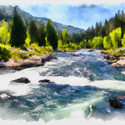
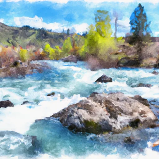
The best time to float this section of water is during spring runoff in May and June when the river flow is between 6,000-15,000 cubic feet per second (cfs). It is not recommended for novice paddlers due to the swift current and technical features. Experienced paddlers will enjoy the thrilling rapids and stunning scenery, including the rocky canyons and rugged mountains.
°F
°F
mph
Wind
%
Humidity
15-Day Weather Outlook
River Run Details
| Last Updated | 2023-06-13 |
| River Levels | 1070 cfs (2.14 ft) |
| Percent of Normal | 110% |
| Optimal Range | 800-7000 cfs |
| Status | Runnable |
| Class Level | II |
| Elevation | 3,922 ft |
| Run Length | 23.0 Mi |
| Streamflow Discharge | 1190 cfs |
| Gauge Height | 2.3 ft |
| Reporting Streamgage | USGS 13302500 |
5-Day Hourly Forecast Detail
Nearby Streamflow Levels
Area Campgrounds
| Location | Reservations | Toilets |
|---|---|---|
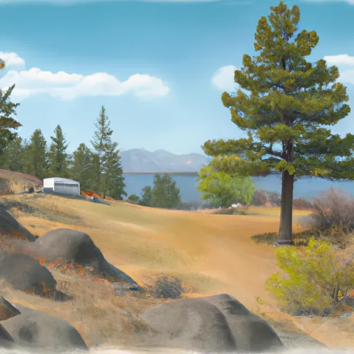 Bayhorse
|
||
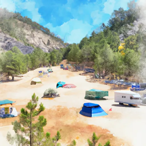 Deadman Hole Campground
|
||
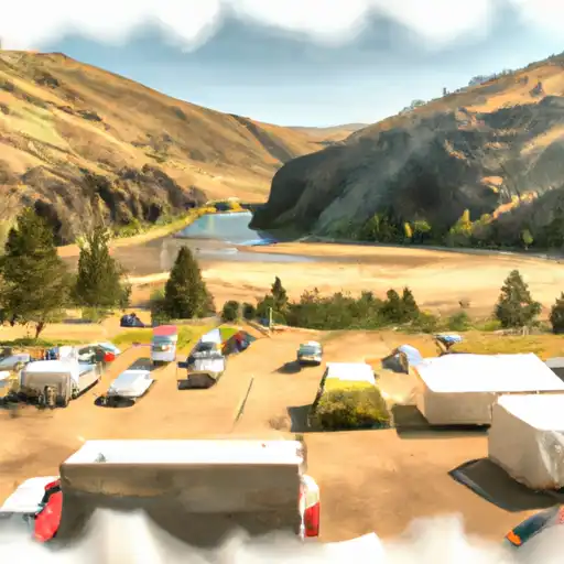 Deadman Hole Dispersed
|
||
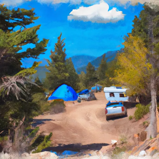 Little Bayhorse Camping Area
|
||
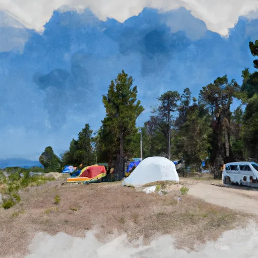 Big Bayhorse Campground
|
||
 Big Bayhorse
|


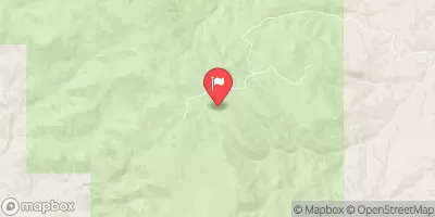
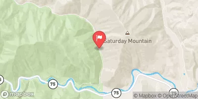
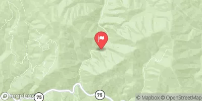
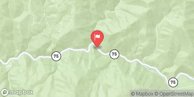
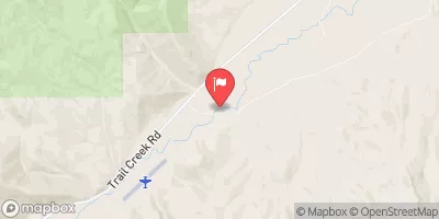
 Corrigan Ln Custer County
 Challis Bridge Recreation Site
 Dugway Dispersed Site
 Challis Bridge to Deer Gulch
 Headwaters To Nf Boundary
 Bayhorse Creek