Summary
This section of the river is suitable for intermediate and advanced paddlers and features several challenging rapids such as "Elkhorn" and "Staircase". Additionally, paddlers will encounter several narrow canyons, rocky outcroppings, and boulder gardens that require careful maneuvering. Overall, this section of the river provides an exhilarating and scenic whitewater experience.
°F
°F
mph
Wind
%
Humidity
15-Day Weather Outlook
River Run Details
| Last Updated | 2023-06-13 |
| River Levels | 1070 cfs (2.14 ft) |
| Percent of Normal | 110% |
| Optimal Range | 600-6000 cfs |
| Status | Runnable |
| Class Level | III- to III+ |
| Elevation | 3,922 ft |
| Run Length | 10.2 Mi |
| Gradient | 32 FPM |
| Streamflow Discharge | 1200 cfs |
| Gauge Height | 2.3 ft |
| Reporting Streamgage | USGS 13302500 |
5-Day Hourly Forecast Detail
Nearby Streamflow Levels
Area Campgrounds
| Location | Reservations | Toilets |
|---|---|---|
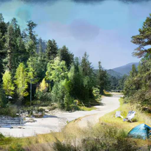 Sockeye
|
||
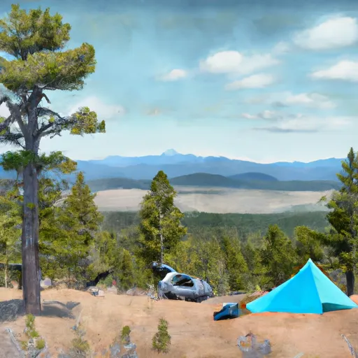 Mount Heyburn
|
||
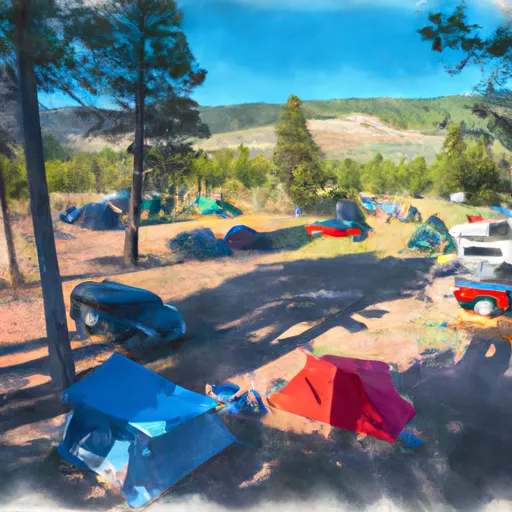 Sockeye Campground
|
||
 Mt. Heyburn Campground
|
||
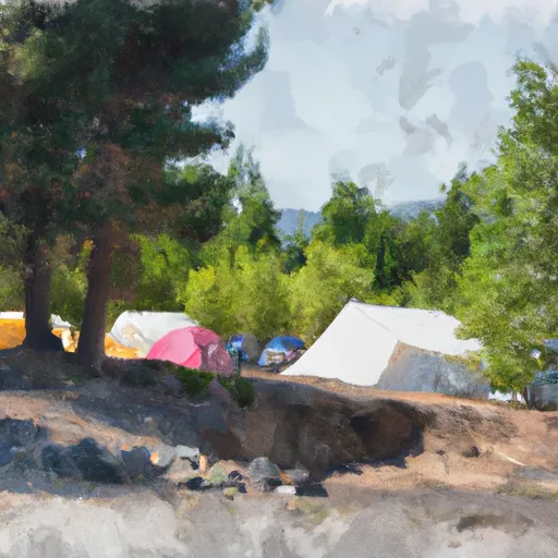 Outlet Campground
|
||
 Redfish Outlet Campground
|


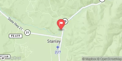
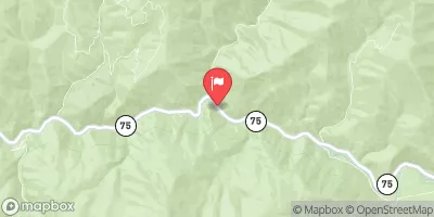
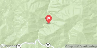
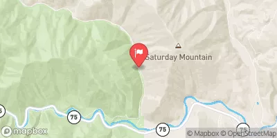
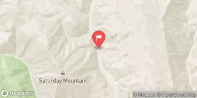
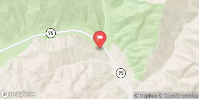
 Headwaters (Gold Creek to Stanley)
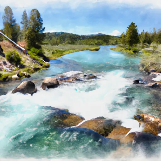 Western Boundary Line Of Section 34 To Redfish Lake
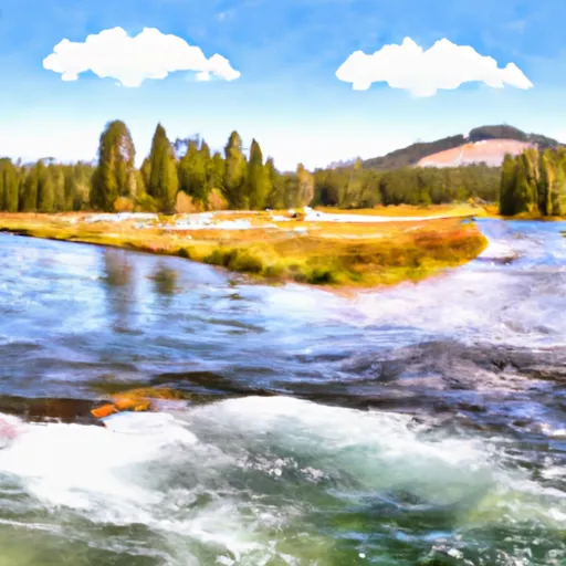 Outlet Redfish Lake To Confluence With Salmon River
 Headwaters To Inlet Redfish Lake
 Headwaters To Western Boundary Line Of Section 34
 Sawtooth Wilderness Boundary To Confluence With Salmon River