Make an Announcement

Communicate warnings, disperse advice, and share.


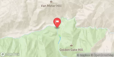
SECESH TO MAIN (THE CANYON)

Whitewater River Run


Idaho Salmon River, South Fork

Secesh To Main (The Canyon)

Class III TO V

STREAMFLOW: 1,830 CFS

Too High
80°, Sunny Then Heavy Rain

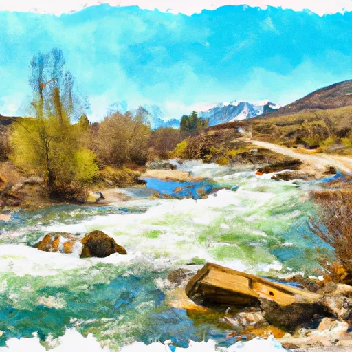
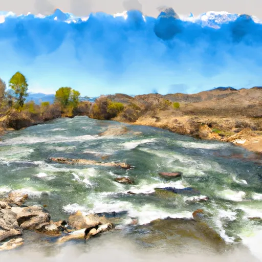
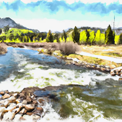
The Secesh to Main the Canyon river run in Idaho is a challenging Class III-IV whitewater experience that is best tackled in late spring to early summer (May-June) when the water flow is between 2,000-5,000 cfs. The run is characterized by steep drops, tight bends, and numerous boulder gardens that require skilled maneuvering. The most challenging section is the Big Mallard Rapid, which can be dangerous at high water levels. Other notable rapids include the Squeeze, Staircase, and Devil's Tooth. Overall, this river run is recommended for experienced kayakers and rafters with strong technical skills and an appetite for adventure.

Weather today, Isolated showers and thunderstorms after noon. Some of the storms could produce small hail, gusty winds, and heavy rain. Mostly sunny, with a high near 80. Calm wind becoming south southwest around 5 mph in the afternoon. Chance of precipitation is 20%.

Status Too High
Class Level III to V
Elevation 3,766 ft
Run Length 52.0 Mi
Gradient 42 FPM
Streamflow Discharge 1830 cfs
Gauge Height 5.3 ft
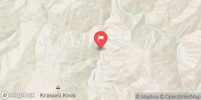
Reporting Streamgage Sf Salmon River Nr Krassel Ranger Station Id
USGS 13310700

Nearby Streamflow Levels

Gauge Streamflow Stage
Salmon River At White Bird Id
USGS 13317000
43,600 cfs 24.0 ft
Little Salmon River At Riggins Id
USGS 13316500
3,310 cfs 6.9 ft
Efsf Salmon R Abv Meadow Crk Nr Stibnite
USGS 13310800
3 cfs 14.7 ft
Johnson Creek At Yellow Pine Id
USGS 13313000
1,560 cfs 4.5 ft
Nf Payette River Nr Banks Id
USGS 13246000
1,890 cfs 7.5 ft
Payette River Nr Horseshoe Bend Id
USGS 13247500
8,020 cfs 9.1 ft
Sf Payette River At Lowman Id
USGS 13235000
3,320 cfs 5.8 ft
Meadow Creek Nr Stibnite
USGS 13310850
2 cfs 3.3 ft
Sf Salmon River Nr Krassel Ranger Station Id
USGS 13310700
1,830 cfs 5.3 ft
Middle Fork Payette River Nr Crouch Id
USGS 13237920
1,270 cfs 8.4 ft
Snotel Site Snowpack 24hr Change

Popular Destinations

Campground Campsites Reservations Toilets Showers Elevation
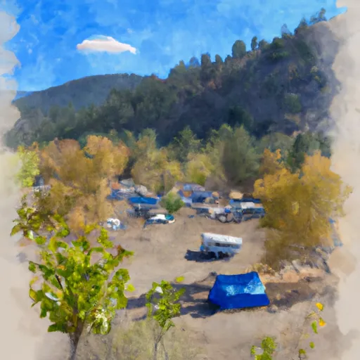
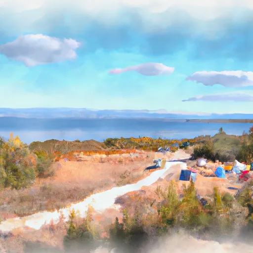
Four Mile 7 4,210 ft
Barneys 6 5,329 ft
Cozy Cove 9 5,349 ft
Kennally Creek 17 5,656 ft
Deer Flat 5 6,214 ft
Poverty Flat 13 4,195 ft
Boiling Springs 7 4,029 ft
Silver Creek Plunge 50 4,492 ft
Silver Creek 5 4,605 ft
Homers 10 5,328 ft
Picnic Point 8 5,309 ft
South Fork Salmon River 14 5,182 ft
Shiefer 5 2,748 ft
Buck Mountain 4 6,586 ft
Ice Hole 10 5,031 ft
Golden Gate 9 4,817 ft
Buckhorn 20 3,924 ft
Rattlesnake 11 3,622 ft
Pen Basin 6 6,696 ft
Shoreline 31 5,278 ft
Chinook 13 5,685 ft
Warm Lake 12 5,343 ft
Ski Area Snowpack Air Temperature 5 Day Forecast
River Run Streamflow Length Class

Log Your Visit

When was your last visit to Secesh to Main (The Canyon)?

Add a Photo

How was it? How were conditions?

Rate the paddle


Submit

Leave A Review

Secesh To Main (The Canyon)

Submit

Upload an Image

Secesh To Main (The Canyon)
Login

Need an Account?

Forgot Your Password?

Delete User Account

Welcome to Snoflo


Continue with a free account

Already Have an Account?


Snoflo Premium

Your first week's free. Cancel anytime

Have a Promo Code?


Already Have an Account?

Signup for Basic Access


Welcome to Snoflo


Continue with a free account

Add Snoflo Premium


Already Have an Account?


Please Verify Your Account

Favorite Limit Reached
Signup for a Free Account

Already Have an Account?