Summary
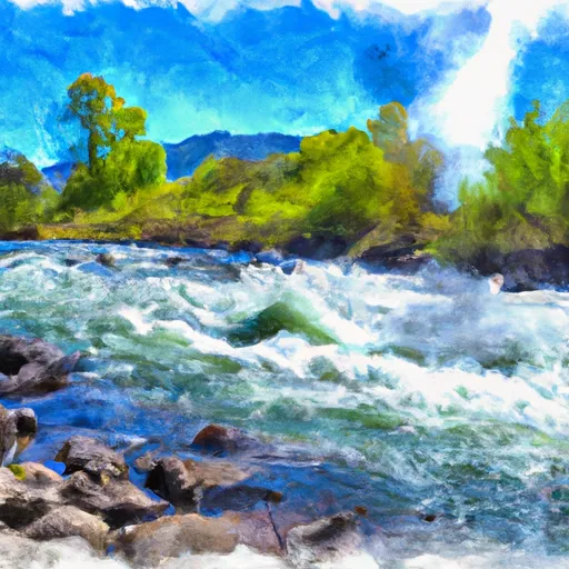
The main obstacle on this river run is the infamous "Torreys Slide," a long and steep Class IV rapid with a large wave train. It's recommended to float this section of the river between May and early July when water levels are higher, with ideal flows ranging from 3,000 to 5,000 cfs. Rafters should also be aware of the "Big Mallard Creek" rapid and "Step-down Rapid," both Class III rapids that require careful maneuvering.
°F
°F
mph
Wind
%
Humidity
15-Day Weather Outlook
River Run Details
| Last Updated | 2023-06-13 |
| River Levels | 1070 cfs (2.14 ft) |
| Percent of Normal | 110% |
| Optimal Range | 700-7000 cfs |
| Status | Runnable |
| Class Level | II |
| Elevation | 3,922 ft |
| Run Length | 17.7 Mi |
| Streamflow Discharge | 1190 cfs |
| Gauge Height | 2.3 ft |
| Reporting Streamgage | USGS 13302500 |
5-Day Hourly Forecast Detail
Nearby Streamflow Levels
Area Campgrounds
| Location | Reservations | Toilets |
|---|---|---|
 Whiskey Flats Campground
|
||
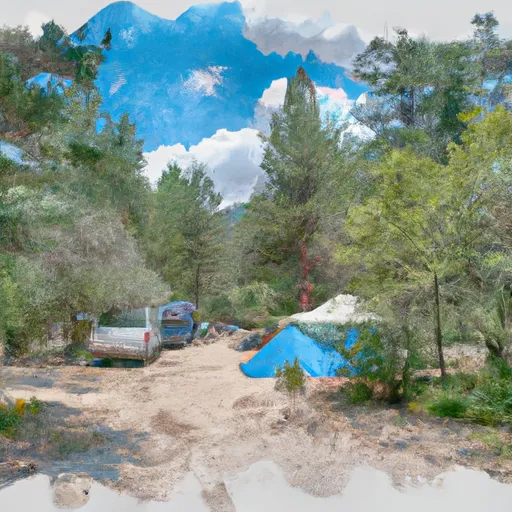 Holman Creek Campground
|
||
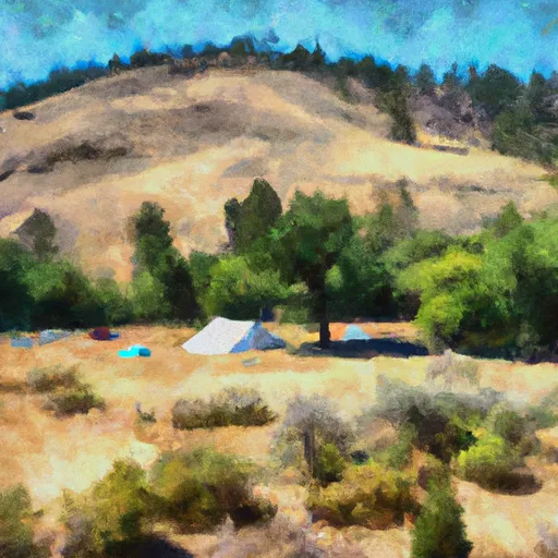 Holman Creek
|
||
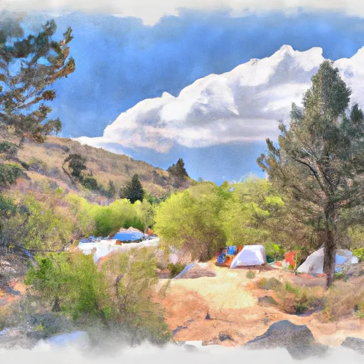 Marshall Creek Campground
|
||
 Lower Obrien
|
||
 Lower O'Brien Campground
|


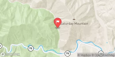
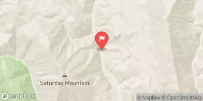
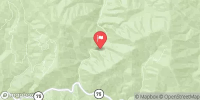
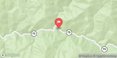
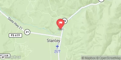
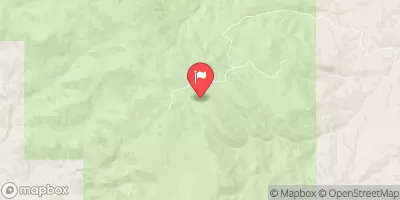
 Torreys to East Fork
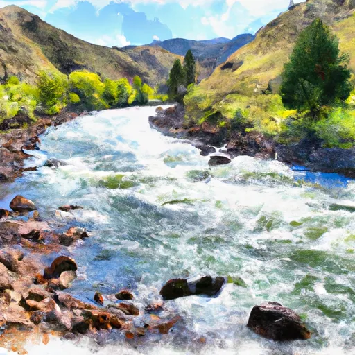 Salmon River
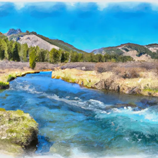 Headwaters To Sawtooth Nf Boundary
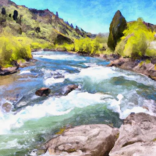 Headwaters To Confluence With Salmon River
 Thompson Creek
 Piece of Cake Run (Sunbeam to Torreys)