

Summary
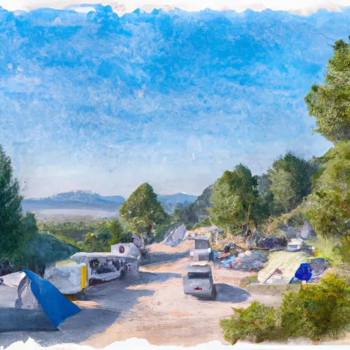
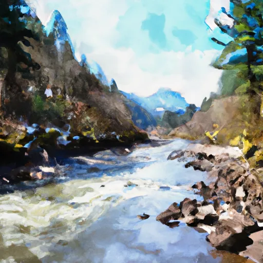
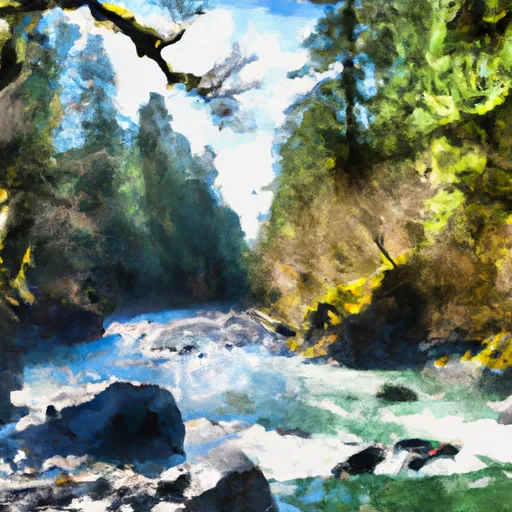
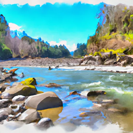
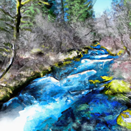
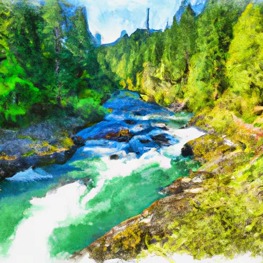
It is best navigated during the summer months with flows between 2,000 to 3,000 cfs. The river run is difficult with steep drops, narrow channels, and large waves, making it suitable for experienced rafters with strong paddling skills. Overall, the Welches Run is a highly recommended river run for thrill-seekers looking for a challenging adventure on the water.
Regional Streamflow Levels
15-Day Long Term Forecast
River Run Details
| Last Updated | 2023-06-13 |
| River Levels | 619 cfs (2.49 ft) |
| Percent of Normal | 100% |
| Status | Too High |
| Class Level | II+ to III |
| Elevation | 5,911 ft |
| Run Length | 5.3 Mi |
| Streamflow Discharge | 2960 cfs |
| Gauge Height | 5.9 ft |
| Reporting Streamgage | USGS 13296500 |

5-Day Hourly Forecast Detail
Area Campgrounds
| Location | Reservations | Toilets |
|---|---|---|
 Green Canyon
|
||
 Green Canyon Campground
|
||
 Tollgate Campground/Day-Use
|
||
 Tollgate
|
||
 McNeil Campground
|
||
 McNeil
|
 Hole in the Wall Boat Access Day Site
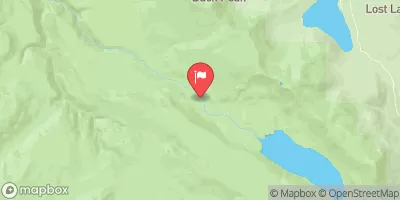
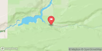
 Welches Run
 Salmon River Canyon (Split Falls to Road Access)
 Mt. Hood Wilderness Boundary To Confluence With Sandy River
 North Fork Clackamas River
 Sandy River
 Headwaters To North Section Line Of Sec 17, T4S, R5E
 Wilderness Salmon-Huckleberry
 National Wild and Scenic River Roaring, Oregon
 National Wild and Scenic River Salmon, Oregon
 Wilderness Roaring River
 Wilderness Mount Hood