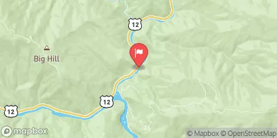
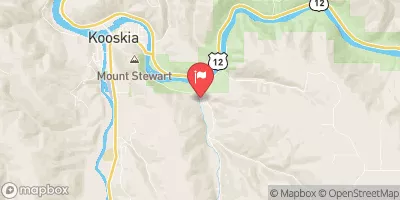
WHITE PINE (INDIAN GRAVE CREEK) TO WILDERNESS GATEWAY BRIDGE

WHITE PINE (INDIAN GRAVE CREEK) TO WILDERNESS GATEWAY BRIDGE

River Runs Kayaking Whitewater


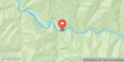
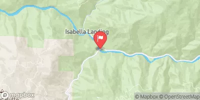
The White Pine Indian Grave Creek to Wilderness Gateway Bridge River Run on the Lochsa River in Idaho is a challenging Class III-IV whitewater experience. The run is characterized by tight, technical rapids, and numerous obstacles including boulders, holes, and waves. The best time to float this section of the river is from May to July with recommended flows between 3,000 and 5,000 cfs. Experienced whitewater enthusiasts will enjoy the adrenaline rush and breathtaking scenery of the surrounding wilderness. However, novices should consider hiring a guide or gaining significant experience before attempting this run.

Realtime River Levels

Lochsa River Nr Lowell Id
USGS 13337000
snowpack density image
Air Quality Alert
Until 2024-07-29T13:00:00-06:00 National Weather Service
* WHAT...Air Quality Advisory because of degraded air quality due to wildfire smoke. Air Quality Index is forecast to be Unhealthy. * WHERE...Clearwater and Idaho Counties. * WHEN...From 9am PST Friday 26 July through noon Monday 29 July. * IMPACTS...Everyone may begin to experience health effects; members of sensitive groups may experience more serious health effects.

July 26, 2024

°F

°F

mph

Windspeed

%

Humidity

Last Updated 2023-06-13
River Levels 2490 cfs (3.74 ft)
Percent of Normal 55%
Optimal Range 500-20000 cfs
Status Runnable
Class Level IV- to IV+
Elevation 1,456 ft
Run Length 19.0 Mi
Streamflow Discharge 712 cfs
Gauge Height 2.3 ft
Reporting Streamgage Lochsa River Nr Lowell Id
USGS 13337000

Regional Streamflow

125

Cubic Feet Per Second

9970

Cubic Feet Per Second

2120

Cubic Feet Per Second

1140

Cubic Feet Per Second

Explore the Interactive Map

View recreational hotspots like fishing, camping, and parks, alongside climate-related data such as river levels, snowpack, and weather forecasts. Enjoy 3D mapping for an immersive experience, and switch to satellite view for a detailed look at your favorite spots. Simply click, explore, and discover nature like never before!

5-Day Weather Forecast

16-Day Weather Forecast

Explore Nearby Places

National Wild And Scenic River Middle Fork Clearwater, Idaho


The National Wild and Scenic River Middle Fork Clearwater is located in the state of Idaho, not Montana. It is a popular destination for outdoor enthusiasts who enjoy activities such as fishing, rafting, hiking, and camping. The river is known for its clear waters, rugged scenery, and diverse wildlife. Visitors can see various species of fish, birds, and mammals, including elk and bears. One of the main points of interest along the Middle Fork Clearwater River is the Selway-Bitterroot Wilderness Area, which offers opportunities for hiking and backpacking. The river also features several rapids and waterfalls, including the popular Dagger ...