2026-02-20T00:00:00-06:00
* WHAT...Northeast winds 10 to 20 kt with gusts up to 30 kt and waves 6 to 9 ft expected. * WHERE...Grand Portage to Grand Marais MN and Grand Marais to Taconite Harbor MN. * WHEN...Until midnight CST tonight. * IMPACTS...Conditions will be hazardous to small craft.
Summary
The ideal streamflow range for this river is between 200 and 500 cubic feet per second (cfs). The river is rated as Class II-III, which means it has moderate rapids with some obstacles that require maneuvering. The segment mileage of this river is 7.5 miles, which takes approximately 2-3 hours to navigate.
The Whitewater River has specific rapids that are noteworthy to mention, such as Horseshoe Falls, which is a Class III rapid that requires careful maneuvering. Another rapid is the Railroad Rapid, which is a Class II rapid that can be challenging for novice paddlers. There are also several other Class II and III rapids along the river that provide an exciting challenge for experienced paddlers.
In terms of regulations, the Illinois Department of Natural Resources requires all boaters to have a personal flotation device (PFD) on board, and it must be worn at all times while on the river. Additionally, the use of alcohol and drugs is strictly prohibited while on the river. Overall, the Whitewater River in Illinois provides an exciting and challenging experience for kayakers and rafters, and it is important to follow all regulations to ensure a safe and enjoyable trip.
°F
°F
mph
Wind
%
Humidity
15-Day Weather Outlook
River Run Details
| Last Updated | 2026-01-27 |
| River Levels | 588 cfs (3.58 ft) |
| Percent of Normal | 33% |
| Status | |
| Class Level | ii-iii |
| Elevation | ft |
| Streamflow Discharge | cfs |
| Gauge Height | ft |
| Reporting Streamgage | USGS 05447500 |
5-Day Hourly Forecast Detail
Nearby Streamflow Levels
Area Campgrounds
| Location | Reservations | Toilets |
|---|---|---|
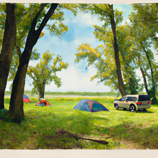 Judge CR Magney State Park
|
||
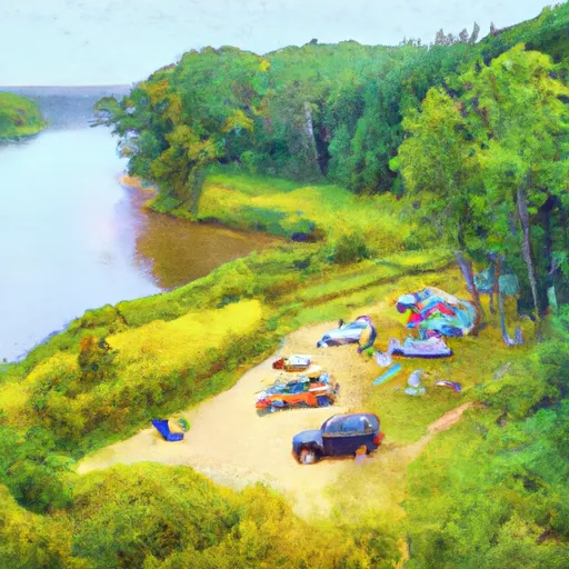 South Little Brule River
|
||
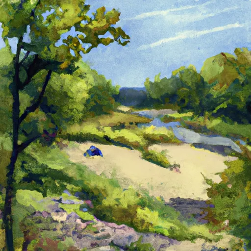 North Little Brule River
|
||
 Northwest Little Brule River
|
||
 Kadunce River
|
||
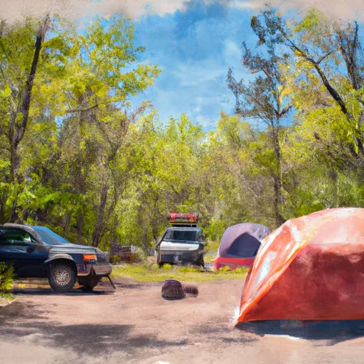 Judge Magney State Park
|


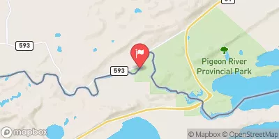
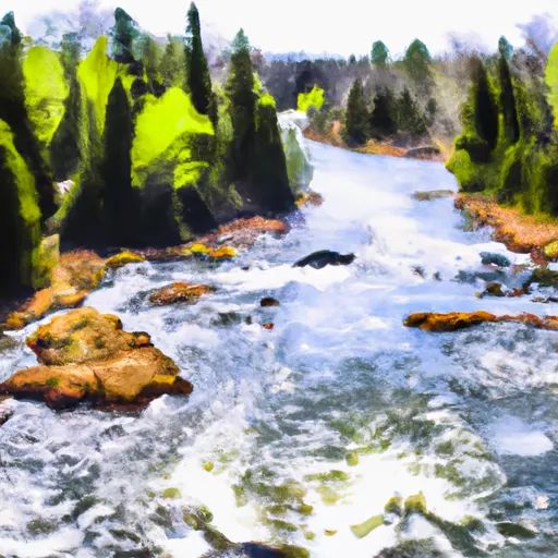 Forest Boundary To Lake Superior In T62N, R3E
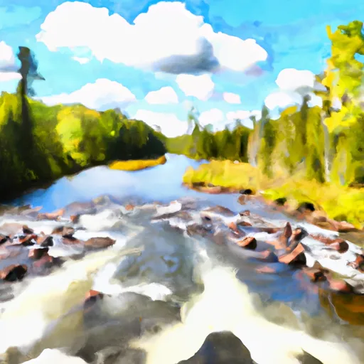 Bwcaw Boundary To Forest Boundary In T62N, R2E
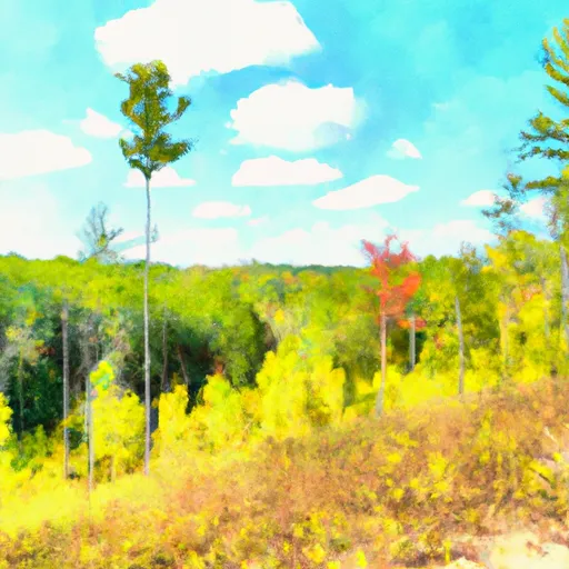 Grand Portage State Forest
 Kadunce River State Park
 Devils Track Falls State Wayside