Summary
The ideal streamflow range for this river is between 100 and 500 cfs. The segment mileage for this river is around 12 miles, and it is classified as a Class II to Class III river, depending on water levels.
The river contains various rapids and obstacles, including sharp turns, boulder gardens, and small drops. The most notable rapid on this section of the river is "Boulder Drop," which features a 4-foot drop followed by a tight turn around a large boulder. Other rapids include "Little Niagara," "Pinball," and "S-Turns."
There are specific regulations in place for the Whitewater River, including a permit requirement for overnight camping and a no-alcohol policy. Additionally, all visitors are required to follow Leave No Trace principles and pack out all trash.
°F
°F
mph
Wind
%
Humidity
15-Day Weather Outlook
River Run Details
| Last Updated | 2026-01-23 |
| River Levels | 11 cfs (3.01 ft) |
| Percent of Normal | 3% |
| Status | |
| Class Level | ii-iii |
| Elevation | ft |
| Streamflow Discharge | cfs |
| Gauge Height | ft |
| Reporting Streamgage | USGS 05591550 |
5-Day Hourly Forecast Detail
Nearby Streamflow Levels
Area Campgrounds
| Location | Reservations | Toilets |
|---|---|---|
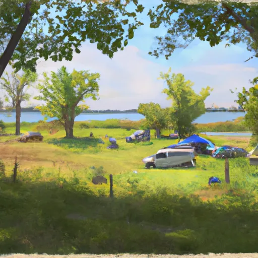 Stevens Lake Campground
|
||
 Stevens Lake Recreation Area
|
||
 Morgan Lake Recreation Area
|
||
 Morgan Lake
|
||
 Windsor Dam Campground
|
||
 Lost Lake Cabins
|


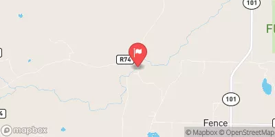
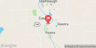
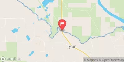
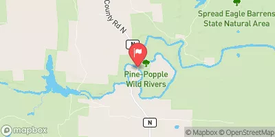
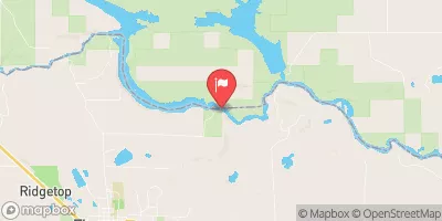
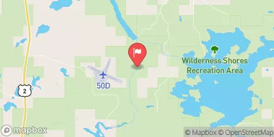
 North Nicolet Road 4870, Town of Ross
 Main Branch--Origin In Sec 23, T38N, R13E To Forest Road 2167
 1/4 Mile West Of Highway 55 To Confluence With Main Branch
 North Branch--Origin In Sec 10, T38N, R13E To 1/4 Mile West Of Highway 55
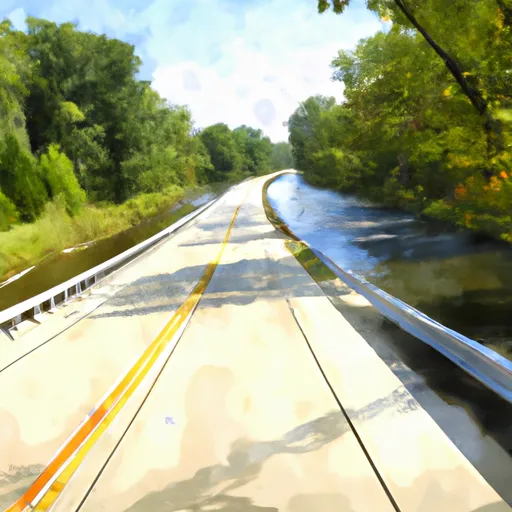 Highway 139 To Forest Road 2398
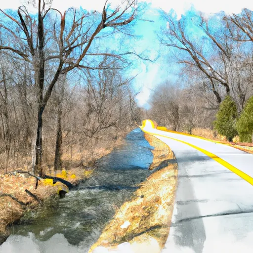 Forest Road 2167 To Highway 139
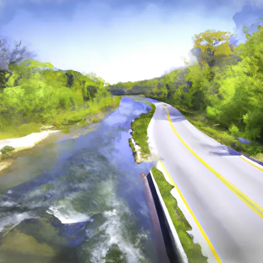 Highway 55 To Forest Road 2169