Summary
The ideal streamflow range for this river is between 400 and 1200 cfs. The class rating for the river ranges from Class I to Class III, with the rapids becoming more challenging as you progress downstream. The segment mileage of the river is approximately 30 miles, stretching from the Minnesota-Iowa state border to the town of Bluffton, Iowa.
There are several rapids and obstacles along the river, including the Sluice Box, the Narrows, and the Devil's Elbow. These rapids offer a thrilling experience for experienced paddlers but may be challenging for beginners. The river is also home to several waterfalls, including the 27-foot-high Chimney Rock Falls.
There are specific regulations that apply to the Whitewater River. All paddlers must wear a personal flotation device (PFD) at all times while on the river. Camping is allowed along the river, but it is limited to designated campsites. Fires are allowed only in established fire rings, and visitors must pack out all trash and waste.
Overall, the Whitewater River offers an exciting and challenging adventure for paddlers of all skill levels. Visitors should be aware of the specific regulations and guidelines and take appropriate safety precautions while on the river.
°F
°F
mph
Wind
%
Humidity
15-Day Weather Outlook
River Run Details
| Last Updated | 2025-12-08 |
| River Levels | 264 cfs (3.49 ft) |
| Percent of Normal | 159% |
| Status | |
| Class Level | iii |
| Elevation | ft |
| Run Length | 25.0 Mi |
| Streamflow Discharge | cfs |
| Gauge Height | ft |
| Reporting Streamgage | USGS 05387440 |
5-Day Hourly Forecast Detail
Nearby Streamflow Levels
 Upper Iowa River At Bluffton
|
421cfs |
 Upper Iowa River At Decorah
|
257cfs |
 Root River Near Pilot Mound
|
303cfs |
 Turkey River At Spillville
|
28cfs |
 Upper Iowa River Near Dorchester
|
885cfs |
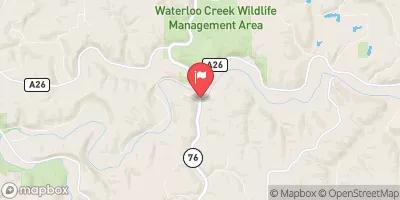
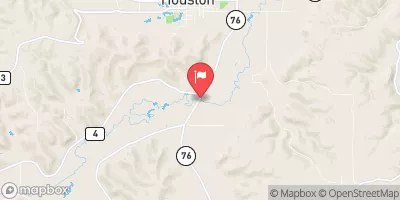 South Fork Root River Near Houston
|
353cfs |


 Kendallville Park Campground
 North Park Campground
 Howard County Fairgrounds Campground
 Canoe landing
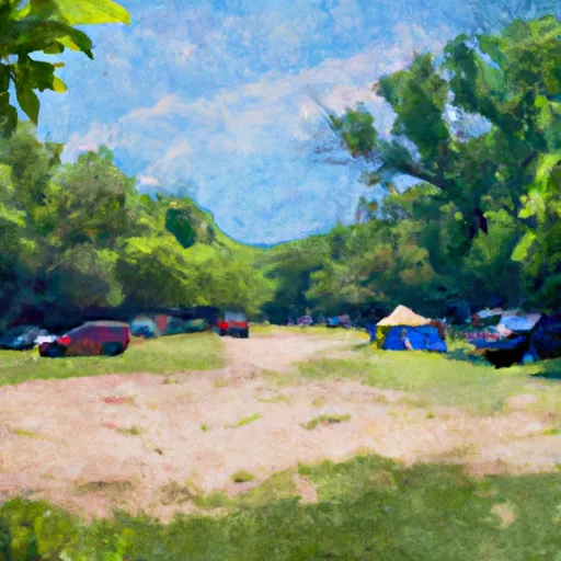 Lidtke County Park Campground
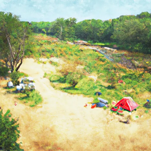 Turkey River Campground
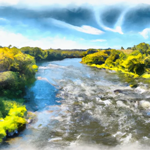 The Minnesota-Iowa State Border To Ends Near The Town Of Bluffton, Iowa
 The Town Of Bluffton To The "Lower" Dam, Near The Confluence Of Coon Creek
 Kessel Park
 Bonair County Park
 Forestville/Mystery Cave State Park
 Lidtke County Park
 C Baker County Park