None
Lingering light snow showers will taper to flurries early this morning with minimal impacts. However, temperatures remain very cold in the 20s, so anticipate patches of slick, slushy, or snow covered roads. Assume any untreated roads and surfaces, including bridges, overpasses, decks, and steps could be icy. If traveling, slow down and exercise caution. Allow plenty of extra time to reach your destination.
Turkey Foot Campground To Confluence With South Fork Of Station Camp Creek Paddle Report
Last Updated: 2026-01-29
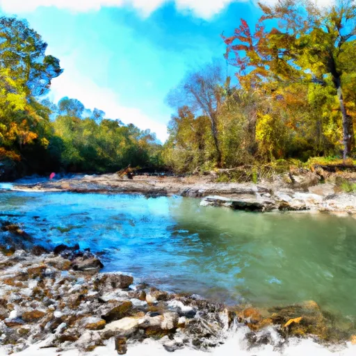
The Whitewater River run from Turkey Foot Campground to Confluence with South Fork of Station Camp Creek in Kentucky is a class II-III river with a segment mileage of approximately 8.5 miles.
Summary
The ideal streamflow range for this run is between 300-1200 cfs. The river features several rapids and obstacles, including S-Turn Rapid, Double Drop, and several technical rock gardens. Paddlers should be prepared for potential strainers and sweepers along the route. Additionally, the river is subject to flash flooding, so paddlers should be aware of changing water levels and weather conditions.
Specific regulations to the area include a permit requirement for overnight camping at Turkey Foot Campground and a user fee for access to the river. Alcohol and glass containers are prohibited on the river, and paddlers are encouraged to practice Leave No Trace principles. The river is open year-round, but paddlers should be aware of hunting season closures in the fall. Overall, the Whitewater River run is a challenging and scenic option for intermediate paddlers looking to experience Kentucky's rivers.
°F
°F
mph
Wind
%
Humidity
15-Day Weather Outlook
River Run Details
| Last Updated | 2026-01-29 |
| River Levels | 33 cfs (2.18 ft) |
| Percent of Normal | 71% |
| Status | |
| Class Level | ii-iii |
| Elevation | ft |
| Streamflow Discharge | cfs |
| Gauge Height | ft |
| Reporting Streamgage | USGS 03282040 |
5-Day Hourly Forecast Detail
Nearby Streamflow Levels
Area Campgrounds
| Location | Reservations | Toilets |
|---|---|---|
 Turkey Foot Campground FREE
|
||
 Turkey Foot Campground
|
||
 Turkey Foot Rec Area
|


 Turkey Foot Campground To Confluence With South Fork Of Station Camp Creek