Summary
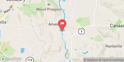
This river run spans from the Massachusetts-Connecticut border to Falls Mountain Road in Canaan, Connecticut and covers a distance of approximately 7 miles. It is classified as a Class III-IV river, which means it has moderate to difficult rapids and obstacles.
The ideal streamflow for the Whitewater River Run ranges from 500-900 cubic feet per second (cfs), which provides a good balance of challenging rapids and navigable sections. The segment mileage varies depending on the starting point, but the run typically takes 2-4 hours to complete.
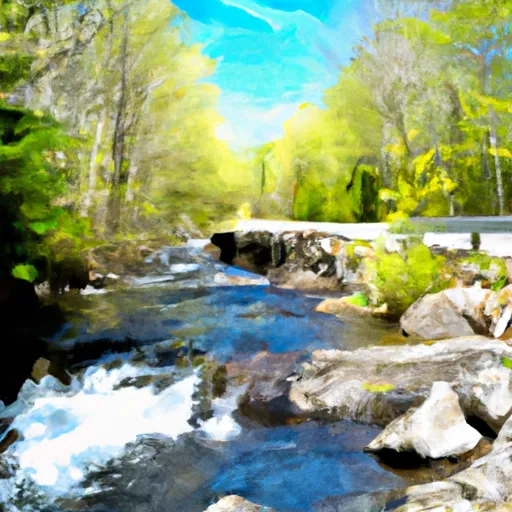
Some of the notable rapids and obstacles on the Whitewater River Run include the "Bump and Grind" rapid, "Tin Can Alley" rapid, and the "S-Turn" rapid. These sections require a high level of skill and experience to navigate safely.
Specific regulations to this area include a permit requirement for commercial outfitters, a lifejacket requirement for all participants, and a prohibition on alcohol consumption during the run. It is also important to note that the Whitewater River Run should only be attempted by experienced paddlers and with appropriate safety equipment in place.
°F
°F
mph
Wind
%
Humidity
15-Day Weather Outlook
River Run Details
| Last Updated | 2026-01-29 |
| River Levels | 211 cfs (2.07 ft) |
| Percent of Normal | 37% |
| Status | |
| Class Level | iii-iv |
| Elevation | ft |
| Run Length | 8.0 Mi |
| Streamflow Discharge | cfs |
| Gauge Height | ft |
| Reporting Streamgage | USGS 01198125 |


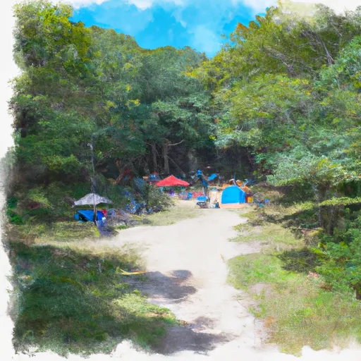
 Laurel Ridge Campsite
 Race Brook Campsites
 Sage's Ravine Campground
 Ball Brook Group Camping Area
 Belter's Campsites
 Rudd Pond - Taconic State Park
 The Massachusetts-Connecticut Border To Falls Mountain Road In Canaan, Connecticut
 Falls Mountain Road In Canaan, Connecticut To Kent Bridge
 Lawrence Field
 Mount Riga State Park
 Cobble Park
 Mount Everett State Reservation
 Campbell Falls State Park