2026-02-20T19:00:00-05:00
* WHAT...Heavy mixed precipitation possible. Total snow accumulations between 2 and 5 inches and ice accumulations from a glaze up to two tenths of an inch possible. * WHERE...Alger, Luce, Marquette, and Northern Schoolcraft Counties. * WHEN...From this evening through Friday evening. * IMPACTS...Plan on slippery road conditions. The hazardous conditions will impact the Thursday morning and evening commutes.
Summary
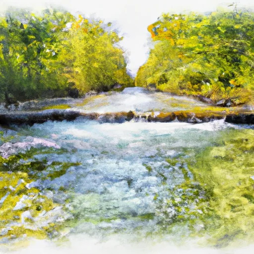
The ideal streamflow range for this section of the river is between 100-500 cfs, depending on the skill level of the paddlers. The segment mileage for this section is approximately 6 miles, and it is rated as a class II-III river.
The river is known for its scenic views and rapids such as Devil's Hole, which is a class III rapid that requires precise maneuvering. Other notable rapids include Revenuer's Rapids, Buck's Bridge Rapids, and the Tricky Drop.
It is important to note that the river is located within the Huron-Manistee National Forest, and there are certain regulations that must be followed. Permits are required for overnight camping, and fires are only allowed in designated fire rings. In addition, it is important to practice Leave No Trace principles and pack out any trash.
Overall, the East Branch of the Whitewater River is a challenging yet rewarding river run that offers beautiful scenery and exciting rapids. It is important to check streamflow levels and follow all regulations to ensure a safe and enjoyable experience on the river.
°F
°F
mph
Wind
%
Humidity
15-Day Weather Outlook
River Run Details
| Last Updated | 2026-01-22 |
| River Levels | 269 cfs (3.22 ft) |
| Percent of Normal | 225% |
| Status | |
| Class Level | ii-iii |
| Elevation | ft |
| Streamflow Discharge | cfs |
| Gauge Height | ft |
| Reporting Streamgage | USGS 04045500 |
5-Day Hourly Forecast Detail
Nearby Streamflow Levels
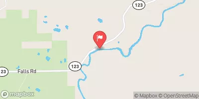 Tahquamenon River Near Paradise
|
1580cfs |
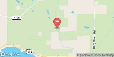 Black River Near Garnet
|
20cfs |
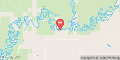 Manistique River Near Manistique
|
2650cfs |
Area Campgrounds
| Location | Reservations | Toilets |
|---|---|---|
 Old Stove
|
||
 Tahquamenon Falls 2 State Park
|
||
 Lower Falls Campground
|


 East Branch From Western Forest Boundary (Sec 19, T46N, R6W) To Confluence With Mainstem
 Source In Sec 21, T47N, R12W To Mouth At Whitefish Bay