Summary
The ideal streamflow range for this run is between 600-2000 cfs, with the optimal flow being around 1200 cfs.
This segment of the Whitewater River is rated as a Class I-II, making it suitable for beginners and intermediate paddlers. The total distance of the run is approximately 8 miles, with a mix of calm stretches and some small rapids.
There are a few notable rapids and obstacles on this run, including the "Boiler," a Class II rapid with a few rocks to maneuver around, and "The Wave," a Class I rapid with a small wave. Other obstacles to watch out for include a few downed trees and sharp turns.
It's important to note that there are specific regulations to the area, including a 5 mph speed limit within 100 feet of the Croton Dam and a requirement to wear a personal flotation device (PFD) at all times while on the river. Additionally, alcohol is prohibited on the river, and littering is strictly enforced.
Overall, the Whitewater River Run is a great option for paddlers looking for a fun, scenic run with a mix of rapids and calm stretches. With the proper equipment and adherence to regulations, this is a great run for beginners and intermediate paddlers alike.
°F
°F
mph
Wind
%
Humidity
15-Day Weather Outlook
River Run Details
| Last Updated | 2026-02-07 |
| River Levels | 1290 cfs (4.82 ft) |
| Percent of Normal | 54% |
| Status | |
| Class Level | i-ii |
| Elevation | ft |
| Streamflow Discharge | cfs |
| Gauge Height | ft |
| Reporting Streamgage | USGS 04121970 |
5-Day Hourly Forecast Detail
Nearby Streamflow Levels
 Muskegon River Near Croton
|
1090cfs |
 Little Muskegon River Near Oak Grove
|
509cfs |
 White River Near Whitehall
|
390cfs |
 Bear Creek Near Muskegon
|
25cfs |
 Rogue River Near Rockford
|
252cfs |
 Grand River At Grand Rapids
|
2390cfs |
Area Campgrounds
| Location | Reservations | Toilets |
|---|---|---|
 Ed H. Henning Park
|
||
 Twinwood Lake Campground
|
||
 Twinwood Lake
|
||
 Utley Lake
|
||
 Croton Township Park
|
||
 Fremont Lake City Park
|


 Shaw Park Drive Newaygo
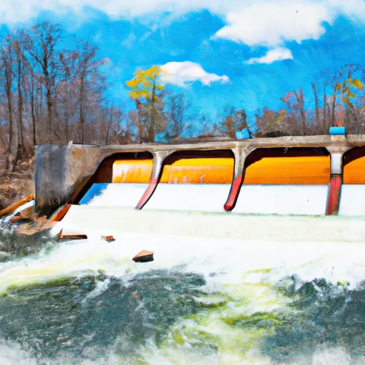 Croton Dam In T12N, R11W To City Of Newaygo In T12N, R12W
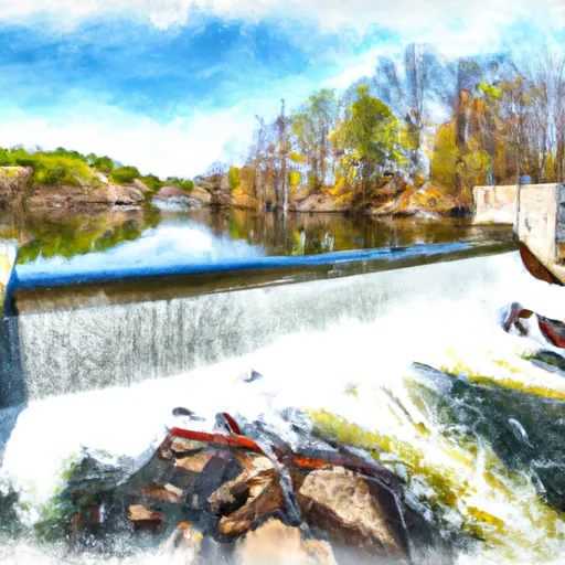 Morley Dam In T13N, R10W To Croton Dam Pond In T12N, R11W
 High Rollway Park
 William J Branstrom Park
 Sandy Beach County Park
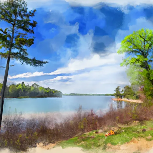 Newaygo State Park