Summary
The ideal streamflow range is between 500-1000 cfs, as anything below 500 cfs can be too shallow and anything above 1000 cfs can be dangerous. The segment mileage is approximately 16 miles, with Class I-III rapids throughout the run.
One of the most notable rapids on the run is "The Maze," which is a Class III rapid that requires skilled maneuvering through a series of boulders and narrow channels. Other rapids include "The Toilet Bowl" and "The Potholes."
There are specific regulations in place for this area, including the requirement for a permit to launch from Morley Dam and a limit of 30 permits per day. Additionally, all participants must wear a personal flotation device and follow Leave No Trace principles.
Overall, the Whitewater River Run provides an exciting and challenging experience for experienced kayakers and rafters. However, it is important to always check the streamflow levels and follow all regulations to ensure a safe and enjoyable trip.
°F
°F
mph
Wind
%
Humidity
15-Day Weather Outlook
River Run Details
| Last Updated | 2026-02-07 |
| River Levels | 1290 cfs (4.82 ft) |
| Percent of Normal | 54% |
| Status | |
| Class Level | i-iii |
| Elevation | ft |
| Streamflow Discharge | cfs |
| Gauge Height | ft |
| Reporting Streamgage | USGS 04121970 |
5-Day Hourly Forecast Detail
Nearby Streamflow Levels
 Muskegon River Near Croton
|
1090cfs |
 Little Muskegon River Near Oak Grove
|
509cfs |
 Rogue River Near Rockford
|
252cfs |
 White River Near Whitehall
|
390cfs |
 Bear Creek Near Muskegon
|
25cfs |
 Grand River At Grand Rapids
|
2390cfs |
Area Campgrounds
| Location | Reservations | Toilets |
|---|---|---|
 Croton Township Park
|
||
 Oxbow Park
|
||
 Newaygo State Park Rustic Campground
|
||
 Newaygo State Park
|
||
 Utley Lake
|
||
 Big Bend Park
|


 East 72nd Street Brooks Township
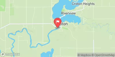
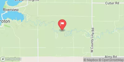
 Morley Dam In T13N, R10W To Croton Dam Pond In T12N, R11W
 Croton Dam In T12N, R11W To City Of Newaygo In T12N, R12W
 Newaygo State Park
 High Rollway Park
 Ed H. Henning County Park
 Salisbury Park