Summary
The ideal streamflow range for this river run is between 200-500 cfs and it is rated as a Class III river. The segment mileage for this run is 7.5 miles, stretching from the Confluence of Cisco Branch and Tenmile Creek to its Confluence with West Branch.
The river is known for its rapids and obstacles, including the "Cisco Falls", which is a Class III+ rapid that requires technical paddling skills. Other notable obstacles include "Whale Rock" and "The Narrows", both of which require precise navigation.
There are specific regulations to the area, such as a requirement for all paddlers to wear a personal flotation device and a helmet. Additionally, camping and fires are prohibited along the riverbank, and visitors are encouraged to practice Leave No Trace principles.
°F
°F
mph
Wind
%
Humidity
15-Day Weather Outlook
River Run Details
| Last Updated | 2025-11-28 |
| River Levels | 584 cfs (5.55 ft) |
| Percent of Normal | 75% |
| Status | |
| Class Level | iii-iii+ |
| Elevation | ft |
| Streamflow Discharge | cfs |
| Gauge Height | ft |
| Reporting Streamgage | USGS 04040000 |


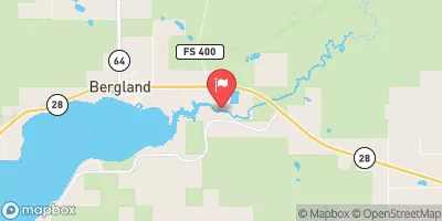
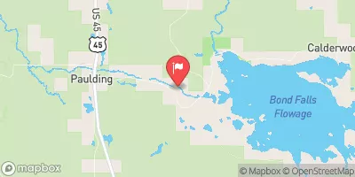
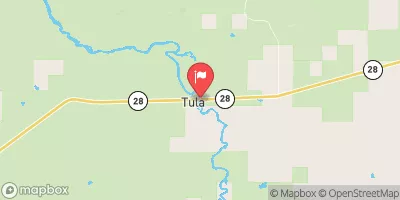
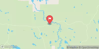
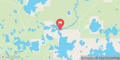
 South Branch,Confluence Of Cisco Branch And Tenmile Creek To Confluence With West Branch
 West Branch, Mi State Highway 28 To Cascade Falls