Summary
The best time to float this section is in the spring (April-June) when water levels are higher, with recommended CFS levels of 500-1000. There are several river obstacles, including boulder gardens, narrow channels, and tight turns, which require strong paddling skills and good river reading abilities. Some of the most challenging rapids include Widowmaker, Whistling Bird, and Squeeze Play. Overall, this is a beautiful and rewarding river experience for intermediate to advanced paddlers who are up for a challenging adventure.
°F
°F
mph
Wind
%
Humidity
15-Day Weather Outlook
River Run Details
| Last Updated | 2023-06-13 |
| River Levels | 1900 cfs (3.82 ft) |
| Percent of Normal | 160% |
| Optimal Range | 1000-5000 cfs |
| Status | Too Low |
| Class Level | III to V- |
| Elevation | 3,351 ft |
| Run Length | 35.0 Mi |
| Gradient | 17 FPM |
| Streamflow Discharge | 197 cfs |
| Gauge Height | 1.6 ft |
| Reporting Streamgage | USGS 13181000 |
5-Day Hourly Forecast Detail
Nearby Streamflow Levels
Area Campgrounds
| Location | Reservations | Toilets |
|---|---|---|
 Three Forks Camsite 2
|
||
 Three Forks Campsite 3
|
||
 Three Forks Camp 1
|
||
 Three Forks Campsite 4
|
||
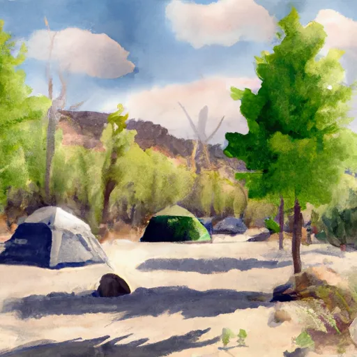 Three Forks Campsite 6
|
||
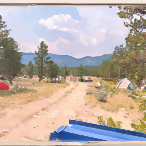 Three Forks Campsite 5
|


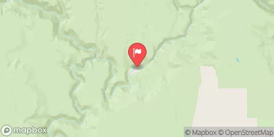
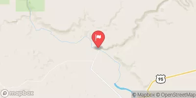
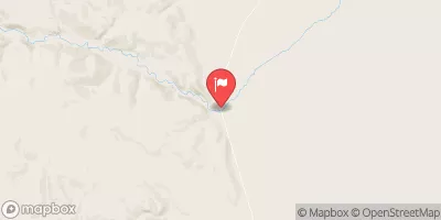
 Middle (Three Forks to Rome)
 Antelope Creek - J19
 Cabin Creek
 Juniper Creek