Carlton County State Aid Highway #12 Bridge To The Site Of Old Sandstone Hydroelectric Dam Paddle Report
Last Updated: 2025-12-02
The Whitewater River run in Carlton County, Minnesota spans a 7.5-mile segment from the Carlton County State Aid Highway #12 Bridge to the old Sandstone Hydroelectric Dam site.
Summary
The ideal streamflow range for this section of the river is between 100 and 600 cubic feet per second (cfs), with peak flows occurring in the spring and after heavy rainfall.
The Whitewater River run is rated as a Class II-III rapids, with some sections reaching a Class IV difficulty level. The river features several rapids and obstacles, including the "Wave", "The Potholes", and "The Pipeline", which offer exciting challenges for experienced paddlers.
Specific regulations for the area include a requirement for a valid Minnesota watercraft registration or a non-resident watercraft permit for all motorized watercraft. Paddlers are also required to wear a personal flotation device (PFD) at all times while on the river.
The Whitewater River run is a popular destination for whitewater enthusiasts seeking a challenging and scenic paddle. It is important to check streamflow levels and weather conditions before embarking on this adventure, as conditions can change rapidly and affect the difficulty of the rapids. Additionally, all paddlers should have the appropriate experience and skills to navigate the rapids safely.
°F
°F
mph
Wind
%
Humidity
15-Day Weather Outlook
River Run Details
| Last Updated | 2025-12-02 |
| River Levels | 187 cfs (4.17 ft) |
| Percent of Normal | 21% |
| Status | |
| Class Level | ii-iii |
| Elevation | ft |
| Run Length | 35.0 Mi |
| Streamflow Discharge | cfs |
| Gauge Height | ft |
| Reporting Streamgage | USGS 05336700 |
5-Day Hourly Forecast Detail
Nearby Streamflow Levels
 Kettle River Below Sandstone
|
170cfs |
 St. Louis River At Scanlon
|
693cfs |
 Nemadji River Near South Superior
|
93cfs |
 Mississippi River At Aitkin
|
1010cfs |
 St. Croix River Near Danbury
|
1650cfs |
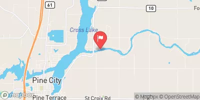 Snake River Near Pine City
|
161cfs |


 Moose Lake City Park
 Sun-Bay Mobile Court and Camping
 Moose Lake City Campground
 Red Fox Campground & RV Park
 Moose Lake State Park
 Moose Lake State Park Campground
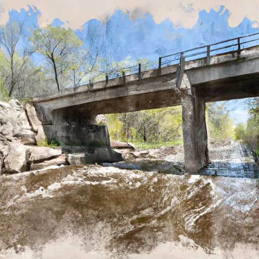 Carlton County State Aid Highway #12 Bridge To The Site Of Old Sandstone Hydroelectric Dam