Summary
The ideal streamflow range for this river is between 150 and 600 cubic feet per second (cfs), although it can be run at higher levels by experienced paddlers. The river is rated as a Class II-III run, with some sections reaching Class IV during high water periods. The segment mileage for this run is approximately 7 miles, starting at the site of the old Sandstone Hydroelectric Dam and ending at the confluence with the St. Croix River.
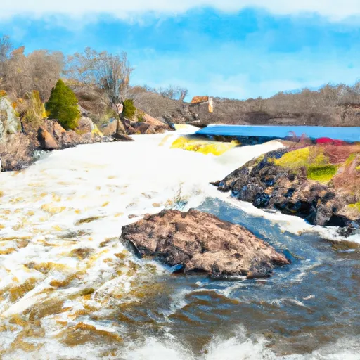
There are several specific rapids and obstacles that paddlers will encounter during the Whitewater River Run. These include "Little Falls" and "Big Falls," both of which are Class III rapids, as well as several other smaller rapids and waves. The river also has several rocks and boulders that can create challenging obstacles for paddlers.
In terms of regulations, the Whitewater River Run is regulated by the Minnesota Department of Natural Resources and paddlers are required to have a valid watercraft permit. Additionally, paddlers are required to wear personal flotation devices and are encouraged to use helmets and other safety equipment.
Overall, the Whitewater River Run is a challenging and exciting destination for whitewater enthusiasts in Minnesota. With its ideal streamflow range, class rating, and specific rapids and obstacles, it offers a thrilling experience for paddlers of all skill levels.
°F
°F
mph
Wind
%
Humidity
15-Day Weather Outlook
River Run Details
| Last Updated | 2025-12-02 |
| River Levels | 187 cfs (4.17 ft) |
| Percent of Normal | 21% |
| Status | |
| Class Level | ii-iii |
| Elevation | ft |
| Run Length | 24.0 Mi |
| Streamflow Discharge | cfs |
| Gauge Height | ft |
| Reporting Streamgage | USGS 05336700 |
5-Day Hourly Forecast Detail
Nearby Streamflow Levels
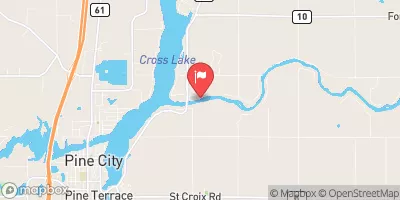
 Kettle River Below Sandstone
|
170cfs |
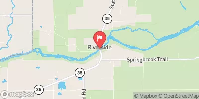
 Snake River Near Pine City
|
161cfs |
 St. Croix River Near Danbury
|
1650cfs |
 St. Louis River At Scanlon
|
693cfs |
 St. Croix River At St. Croix Falls
|
2540cfs |
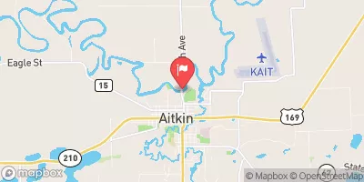
 Mississippi River At Aitkin
|
1010cfs |


 The Site Of Old Sandstone Hydroelectric Dam To The Confluence With St. Croix River