Summary
The ideal streamflow range for this run is between 150 and 700 cubic feet per second (cfs) according to the Minnesota Department of Natural Resources. The Class rating of this river varies depending on the segment being run, ranging from Class II to Class IV. The total segment mileage is approximately 20 miles.
There are several rapids and obstacles that kayakers and rafters should be aware of when navigating the Whitewater River. These include Big Falls, a Class IV rapid located near the town of Beaver; Blueberry Slide, a Class III rapid located near the Blueberry Trailhead; and Fenceline, a Class II rapid located near the end of the run at the Roscoe Island Bridge.
There are specific regulations that must be followed when visiting the Whitewater River Run. All users must possess a valid Minnesota State Watercraft Operator's Permit, and all vessels must be registered with the Minnesota Department of Natural Resources. It is also important to note that camping is not allowed on Roscoe Island.
Overall, the Whitewater River Run offers a thrilling and challenging experience for kayakers and rafters in Minnesota. It is important to follow all regulations and use caution when navigating the rapids and obstacles on this river.
°F
°F
mph
Wind
%
Humidity
15-Day Weather Outlook
River Run Details
| Last Updated | 2026-01-22 |
| River Levels | 2390 cfs (5.93 ft) |
| Percent of Normal | 67% |
| Status | |
| Class Level | ii-iv |
| Elevation | ft |
| Run Length | 30.0 Mi |
| Streamflow Discharge | cfs |
| Gauge Height | ft |
| Reporting Streamgage | USGS 05242300 |
5-Day Hourly Forecast Detail
Nearby Streamflow Levels
 Mississippi River At Brainerd
|
2040cfs |
 Crow Wing River Near Pillager
|
482cfs |
 Mississippi River At Aitkin
|
1010cfs |
 Mississippi River Near Royalton
|
6040cfs |
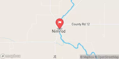 Crow Wing River At Nimrod
|
279cfs |
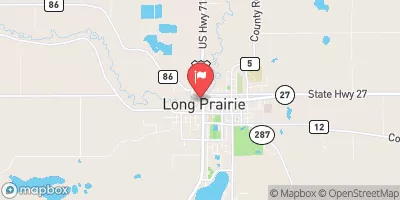 Long Prairie River At Long Prairie
|
122cfs |


 Lum City Park
 Lum Park Campground
 Crow Wing State Park Campground
 Crow Wing State Park
 Gulf Lake- Cor of Engineers Campground
 Pillsbury State Forest- Walter Stark Horse Camp
 Highland Scenic Drive South 6213, Baxter
 The 25-Acre Island Just South Of Brainerd
To Roscoe Island