Summary
The ideal streamflow range for this section of the river is between 150 and 400 cubic feet per second (cfs). The class rating for this section of the river is Class II-III, which means that the rapids are moderate to difficult and require some skill and experience to navigate.
The segment mileage for this run is approximately 17 miles, and there are several specific river rapids and obstacles to be aware of. Some of the most notable rapids include the "Devil's Elbow" and "Broken Dam," which are both Class III rapids that require precise maneuvering to navigate safely. Other obstacles include fallen trees, rocks, and narrow channels that require careful attention and skillful paddling.
There are specific regulations to be aware of when paddling the Whitewater River. The Minnesota Department of Natural Resources requires that all paddlers wear a personal flotation device (PFD) at all times while on the river. Additionally, there are restrictions on the use of motorized watercraft, and paddlers are required to obtain a permit if they plan to camp along the river.
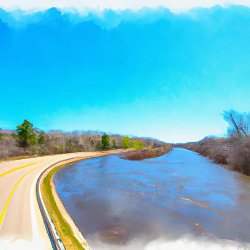
Overall, the Whitewater River run from Dora Lake to State Highway 6 in Minnesota is a challenging and rewarding experience for experienced paddlers. It offers a variety of rapids and obstacles to navigate, as well as beautiful scenery and wildlife viewing opportunities.
°F
°F
mph
Wind
%
Humidity
15-Day Weather Outlook
River Run Details
| Last Updated | 2025-11-19 |
| River Levels | 374 cfs (3.52 ft) |
| Percent of Normal | 39% |
| Status | |
| Class Level | ii-iii |
| Elevation | ft |
| Streamflow Discharge | cfs |
| Gauge Height | ft |
| Reporting Streamgage | USGS 05132000 |
5-Day Hourly Forecast Detail
Nearby Streamflow Levels
 Prairie River Near Taconite
|
63cfs |
 Big Fork River At Big Falls
|
169cfs |
 Mississippi River At Grand Rapids
|
1030cfs |
 Little Fork River At Littlefork
|
160cfs |
 Mississippi River Near Bemidji
|
169cfs |
Area Campgrounds
| Location | Reservations | Toilets |
|---|---|---|
 Noma Lake Campground
|
||
 Scenic State Park
|
||
 Rising Eagle Resort
|


 Gunderson Lake State Water Access Site
 Dora Lake To State Highway 6