Summary
The ideal streamflow range for this section is between 200-500 cubic feet per second (cfs), making it a Class II-III river. The segment mileage is 10 miles, and the river features specific rapids and obstacles such as the "Witch's Cauldron" and "Stair Steps."
The "Witch's Cauldron" is a Class III rapid that requires precise maneuvering, while the "Stair Steps" are a series of Class II rapids that require careful navigation. The river is also known for its scenic views and diverse wildlife.
Specific regulations for the area include a permit requirement for overnight camping and a limit on the number of people allowed on the river at one time. Additionally, visitors are required to carry out all their trash and leave no trace behind.
°F
°F
mph
Wind
%
Humidity
15-Day Weather Outlook
River Run Details
| Last Updated | 2026-02-07 |
| River Levels | 1400 cfs (13.95 ft) |
| Percent of Normal | 183% |
| Status | |
| Class Level | ii-iii |
| Elevation | ft |
| Streamflow Discharge | cfs |
| Gauge Height | ft |
| Reporting Streamgage | USGS 07288650 |
5-Day Hourly Forecast Detail
Nearby Streamflow Levels
 Chippewa River At Bishops Bridge Near Winter
|
176cfs |
 Bad River Near Mellen
|
101cfs |
 Namekagon River At Leonards
|
94cfs |
 Bad River Near Odanah
|
304cfs |
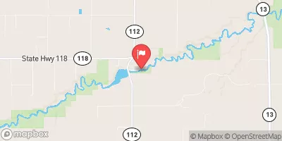 White River Near Ashland
|
215cfs |
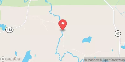 Bear River Near Manitowish Waters
|
31cfs |


 Stock Farm Bridge
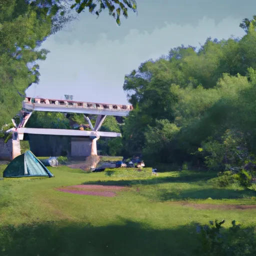 Stockfarm Bridge Recreation Area
 Stockfarm Bridge Recreation Area Campgrounds
 Black Lake Recreation Area Campground
 Black Lake
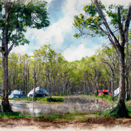 Black Lake Recreation Area
 Blaisdell Lake Road Town of Draper
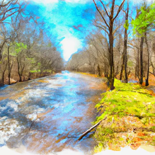 East Forest Boundary To Forest Road 162 Crossing
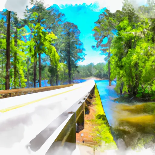 Forest Road 162 Crossing To Bridge On Blaisdell Lake