Summary
The ideal streamflow range for this run is between 200 to 500 cubic feet per second (cfs). The class rating for the run varies from Class II to Class III, providing an exciting experience for intermediate to advanced paddlers. The segment mileage of the run is approximately 7.5 miles, starting from the Western Edge of Ozark National Scenic Riverways and ending at the confluence with Alley Spring (Branch).
The river features several rapids and obstacles, including House Rock, an imposing rock formation in the middle of the river that creates a challenging rapid. Other notable rapids include Double Drop, which features two consecutive drops that require precise navigation, and Zigzag, a series of tight turns that require quick maneuvers. Additionally, paddlers must navigate around rocks and fallen trees in some areas of the river.
To ensure the safety of all paddlers and preserve the natural beauty of the area, specific regulations have been put in place for the Whitewater River Run. Paddlers are required to wear a personal flotation device (PFD) at all times while on the river. Camping is only allowed at designated campsites, and fires are prohibited outside of established fire rings. Additionally, all trash must be carried out of the area to maintain the pristine condition of the river.
°F
°F
mph
Wind
%
Humidity
15-Day Weather Outlook
River Run Details
| Last Updated | 2026-02-07 |
| River Levels | 73 cfs (0.84 ft) |
| Percent of Normal | 28% |
| Status | |
| Class Level | ii-iii |
| Elevation | ft |
| Run Length | 28.0 Mi |
| Streamflow Discharge | cfs |
| Gauge Height | ft |
| Reporting Streamgage | USGS 07065200 |
5-Day Hourly Forecast Detail
Nearby Streamflow Levels
 Jacks Fork Near Mountain View
|
63cfs |
 Jacks Fork At Alley Spring
|
84cfs |
 Jacks Fork At Eminence
|
212cfs |
 Current River Above Akers
|
180cfs |
 Current River At Van Buren
|
1010cfs |
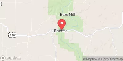 Eleven Point River Near Bardley
|
362cfs |
Area Campgrounds
| Location | Reservations | Toilets |
|---|---|---|
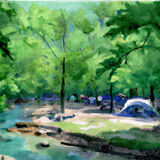 Blue Spring
|
||
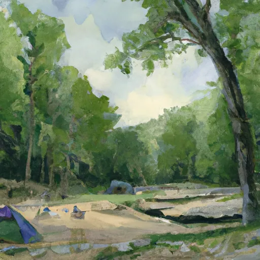 Rymer Spring
|
||
 Bay Creek
|


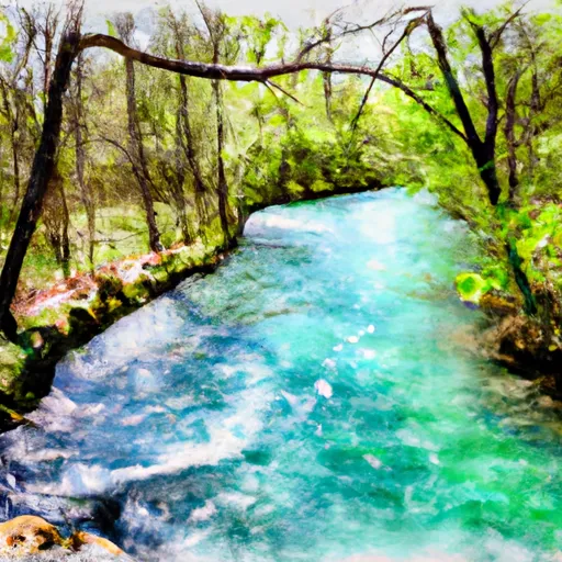 Western Edge Of Ozark National Scenic Riverways To Confluence With Alley Spring (Branch)
 Gist Ranch Conservation Area
 Midvale Conservation Area
 Conservation Area Angeline