Summary
The ideal streamflow range varies depending on the segment of the river being tackled. For the section between the northern boundary of Fort Leonard Wood and the north section line of Sec 31, T36N, R10W, the ideal flow range is between 200-500 cfs. This section of the river is rated as a Class II-III, which means it features moderate to difficult rapids and obstacles that require intermediate skill levels.
The segment is approximately 5.5 miles long and features rapids such as The Ledge, Roller Coaster, and The Chute. The Ledge is a Class III rapid that requires precise maneuvering to navigate successfully. Roller Coaster is a Class II rapid that features large waves and fast-moving water. The Chute is a narrow section of the river that requires careful navigation to avoid rocks and other obstacles.
There are specific regulations that must be followed when using this section of the river. All users must wear personal flotation devices (PFDs) at all times. No alcoholic beverages are allowed on the river, and all trash must be removed from the area. Additionally, users are prohibited from camping or starting fires along the riverbanks.
Overall, the Whitewater River Run from the northern boundary of Fort Leonard Wood to the north section line of Sec 31, T36N, R10W is a challenging and exciting segment of the river that requires intermediate skill levels. While following the specific regulations and guidelines, users can enjoy the beauty and excitement of the river safely.
°F
°F
mph
Wind
%
Humidity
15-Day Weather Outlook
River Run Details
| Last Updated | 2026-02-07 |
| River Levels | 374 cfs (2.32 ft) |
| Percent of Normal | 32% |
| Status | |
| Class Level | ii-iii |
| Elevation | ft |
| Streamflow Discharge | cfs |
| Gauge Height | ft |
| Reporting Streamgage | USGS 06930060 |


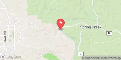
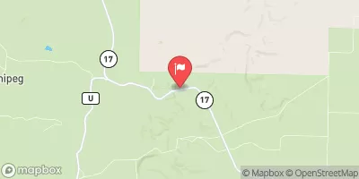
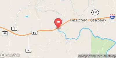
 Northern Boundary Of Fort Leonard Wood To North Section Line Of Sec 31, T36N, R10W
 Missouri State Highway 17 To Fort Leonard Wood (Army Base)