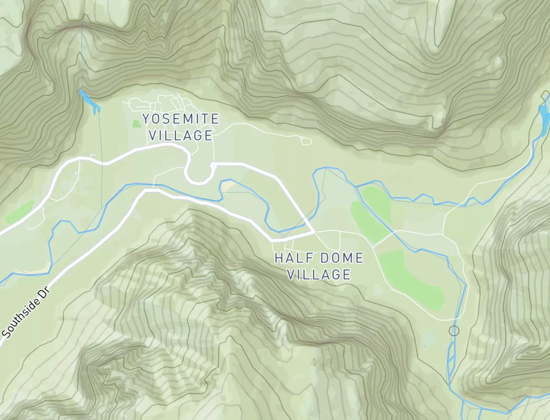
Moccasin Creek To West Glacier (John Stevens Canyon) Paddle Report
Last Updated: April 21, 2026
°F
°F
mph
Wind
%
Humidity
Get the latest Paddle Report, Streamflow Levels, and Weather Forecast for Moccasin Creek To West Glacier (John Stevens Canyon) in Montana. Montana Class II+ TO III+ Streamflow Levels and Weather Forecast
Summary
Regional Streamflow Levels
15-Day Long Term Forecast
River Run Details
| Last Updated | |
| River Levels | 4310 cfs ( ft) |
| Percent of Normal | +100% |
| Optimal Range | 900-16000 cfs |
| Status | Too High |
| Class Level | II+ to III+ |
| Elevation | 2,889 ft |
| Run Length | 9.0 Mi |
| Gradient | 18 FPM |
| Streamflow Discharge | 4310 cfs |
| Gauge Height | ft |
| Reporting Streamgage | USGS 12369000 |
5-Day Hourly Forecast Detail
Area Campgrounds
| Location | Reservations | Toilets |
|---|---|---|
 Harrison Lake
|
||
 Lower Nyack Creek
|
||
 Apgar - Glacier National Park
|
||
 Fish Creek - Glacier National Park
|
||
 Lincoln Lake
|
||
 MCDONALD LAKE
|

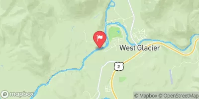
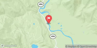
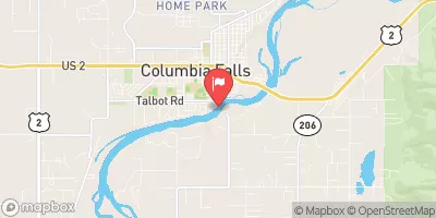

 Moccasin Creek to West Glacier (John Stevens Canyon)
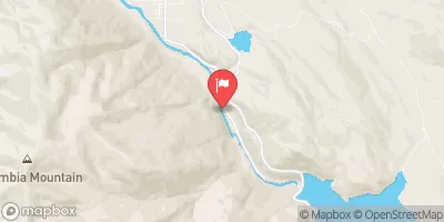
 West Glacier to Blankenship Bridge
 Continue with Snoflo Premium