Summary
The ideal streamflow range for this run is between 800-4000 cfs. The segment mileage for this run is approximately 10 miles, with a class rating of III-IV.
The river rapids and obstacles on this run include several Class III and IV rapids, such as Hells Half Mile, Butcher Knife, and Fang. Additionally, there are various rocks and boulders that can create hazards for paddlers.
Specific regulations for this area include the requirement of a permit from the Bureau of Land Management (BLM) for commercial outfitters and guides, and a self-registration system for private users. Boaters are also required to follow Leave No Trace principles, carry a personal flotation device, and avoid disturbing wildlife.
Sources verify that the ideal streamflow range for the Slowery run is between 800-4000 cfs, and that the segment is approximately 10 miles long with a class rating of III-IV. They also mention the specific rapids and obstacles, as well as the regulations for the area.
°F
°F
mph
Wind
%
Humidity
15-Day Weather Outlook
River Run Details
| Last Updated | 2026-02-07 |
| River Levels | 15300 cfs (10.34 ft) |
| Percent of Normal | 117% |
| Status | |
| Class Level | iii |
| Elevation | ft |
| Streamflow Discharge | cfs |
| Gauge Height | ft |
| Reporting Streamgage | USGS 12354500 |
5-Day Hourly Forecast Detail
Nearby Streamflow Levels
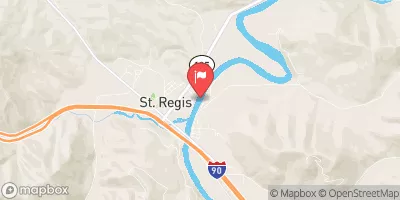 Clark Fork At St. Regis Mt
|
4530cfs |
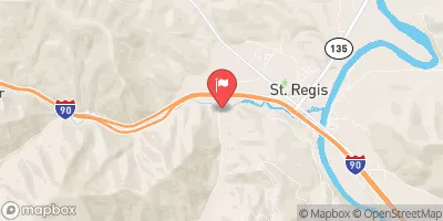 St. Regis River Near St. Regis
|
548cfs |
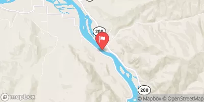 Clark Fork Near Plains Mt
|
18500cfs |
 St. Joe River At Red Ives Ranger Station Id
|
215cfs |
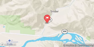 Thompson River Near Thompson Falls Mt
|
287cfs |
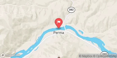 Flathead River At Perma Mt
|
13600cfs |
Area Campgrounds
| Location | Reservations | Toilets |
|---|---|---|
 Little Joe Campground - Lolo NF
|
||
 Slowey
|
||
 Sloway Campground
|
||
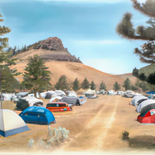 Peninsula Dispersed Campground and Recreation Area
|
||
 Diamond Lake
|
||
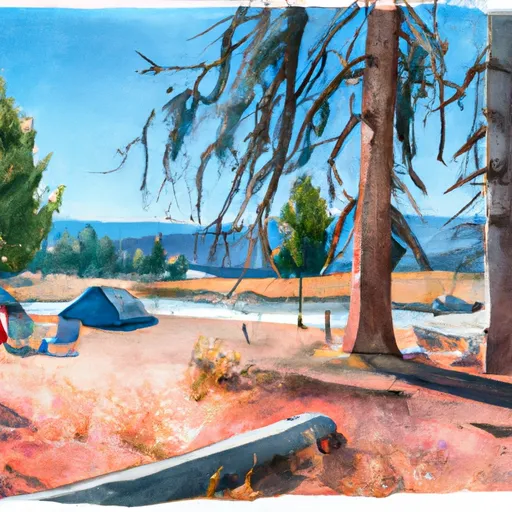 Diamond Lake Campground
|


 Slowery, Sec. 15, T17N, R27W To Sec. 31, T18N. R28W