Summary
The ideal streamflow range for this run is between 700-1500 cfs. The segment mileage is approximately 10 miles long and has a class rating of III-IV.
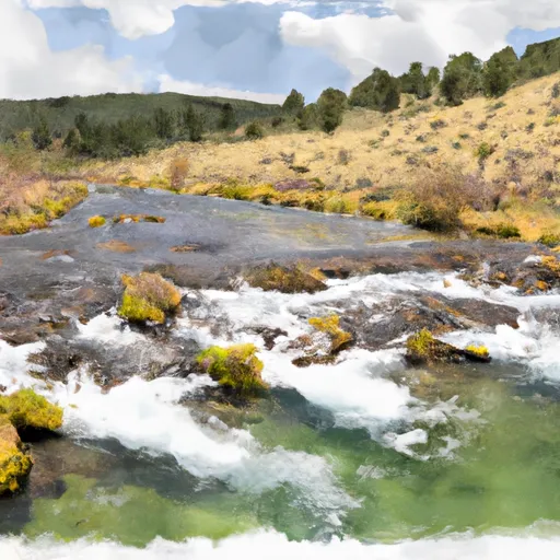
The river rapids in this run include Big Timber Rapid, Pinball Rapid, S-Turn Rapid, and Hoot Owl Rapid. These rapids are known for their technicality and require experienced boaters. The run also has several sections that require portaging due to dangerous obstacles such as log jams and waterfalls.
The regulations for this area include the mandatory use of personal flotation devices (PFDs) and prohibiting camping within 200 feet of the riverbank. Additionally, all boaters must have a valid Montana fishing license and follow catch and release regulations for all fish species.
°F
°F
mph
Wind
%
Humidity
15-Day Weather Outlook
River Run Details
| Last Updated | 2026-02-07 |
| River Levels | 15300 cfs (10.34 ft) |
| Percent of Normal | 117% |
| Status | |
| Class Level | None |
| Elevation | ft |
| Streamflow Discharge | cfs |
| Gauge Height | ft |
| Reporting Streamgage | USGS 12354500 |
5-Day Hourly Forecast Detail
Nearby Streamflow Levels
 St. Joe River At Red Ives Ranger Station Id
|
215cfs |
 Clark Fork At St. Regis Mt
|
4530cfs |
 St. Regis River Near St. Regis
|
548cfs |
 Clark Fork Below Missoula Mt
|
3010cfs |
 Flathead River At Perma Mt
|
13600cfs |
 Bitterroot River Near Missoula Mt
|
1410cfs |
Area Campgrounds
| Location | Reservations | Toilets |
|---|---|---|
 Clearwater Crossing Campground
|
||
 Forks FAS
|
||
 Big Pine FAS
|
||
 Big Pine Fishing Access
|
River Runs
-
 West Fork Fish Creek Headwaters, Sec. 6, T13N, R26W To Clearwater Crossing Trailhead, Sec. 6, T13N, R25W
-
 Cedar Log Creek Headwaters, Sec. 14, T12N, R26W To Mainstem, Sec. 19, T13N, R25W
-
 Middle Fork Indian Creek Headwaters, Sec. 14, T12N, R26W To Mainstem, Sec. 25, T12N, R26W
-
 Irish Creek Headwaters, Sec. 20, T12N, R25W To Mainstem, Sec. 22, T12N, R25W
-
 Montana Creek, Sec. 18, T11N, R24W To Fish Creek, Sec. 8, T12N, R24W
-
 Mainstem Headwaters, Sec. 21, T11N, R25W To Montana Creek, Sec. 18, T12N, R24W

