Summary
The ideal streamflow range for this segment of the river is between 500-1500 cubic feet per second (cfs), which typically occurs during the spring and early summer months.
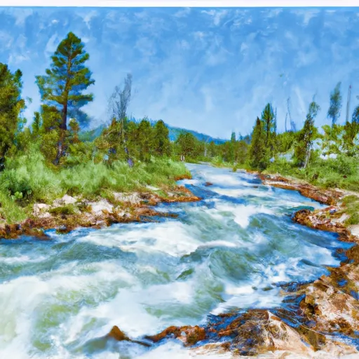
Some of the notable rapids and obstacles on this segment include "Ledges," "Twisted Sister," and "S-Turn." It is important to note that this section of the river is recommended for experienced paddlers only, due to its technical nature and potential for hazardous conditions.
There are no specific regulations in place for this segment of the Whitewater River, but it is always recommended to practice Leave No Trace principles and respect private property along the riverbanks. As with any river activity, safety is paramount, and all paddlers should wear appropriate safety gear and have a solid understanding of river rescue techniques.
Sources consulted for this information include American Whitewater and Montana River Action.
°F
°F
mph
Wind
%
Humidity
15-Day Weather Outlook
River Run Details
| Last Updated | 2026-02-07 |
| River Levels | 14000 cfs (10.91 ft) |
| Percent of Normal | 138% |
| Status | |
| Class Level | None |
| Elevation | ft |
| Streamflow Discharge | cfs |
| Gauge Height | ft |
| Reporting Streamgage | USGS 12388700 |
5-Day Hourly Forecast Detail
Nearby Streamflow Levels
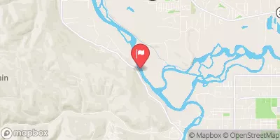 Clark Fork Below Missoula Mt
|
3010cfs |
 Bitterroot River Near Missoula Mt
|
1410cfs |
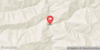 St. Joe River At Red Ives Ranger Station Id
|
215cfs |
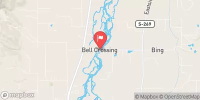 Bitterroot River At Bell Crossing Nr Victor Mt
|
670cfs |
 Clark Fork Above Missoula Mt
|
1660cfs |
 Clark Fork At St. Regis Mt
|
4530cfs |
Area Campgrounds
| Location | Reservations | Toilets |
|---|---|---|
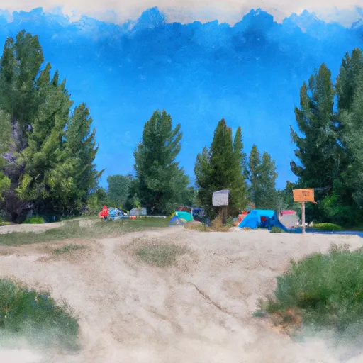 Clearwater Crossing Campground
|
||
 Forks FAS
|
||
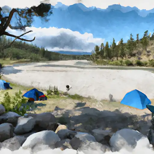 Lee Creek
|
||
 Lee Creek Campground
|
River Runs
-
 Irish Creek Headwaters, Sec. 20, T12N, R25W To Mainstem, Sec. 22, T12N, R25W
-
 Pebble Creek Headwaters, Sec. 10, T11N, R25W To Mainstem, Sec. 28, T12N, R25W
-
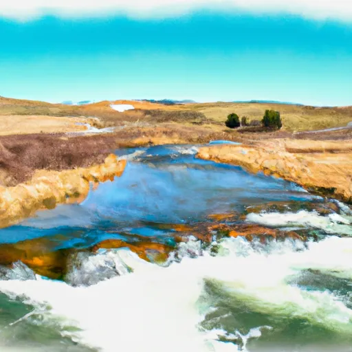 White Creek Headwaters, Sec. 33, T12N, R24W To Mainstem, Sec. 18, T12N, R24W
-
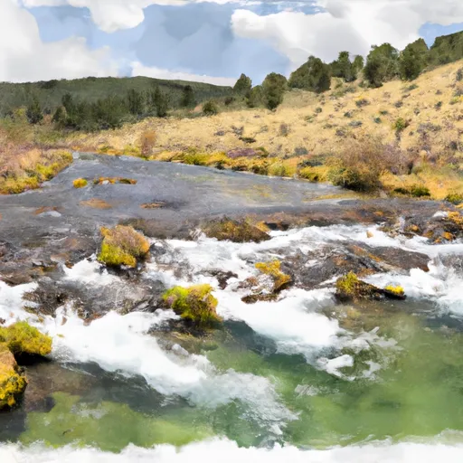 Mainstem Headwaters, Sec. 21, T11N, R25W To Montana Creek, Sec. 18, T12N, R24W
-
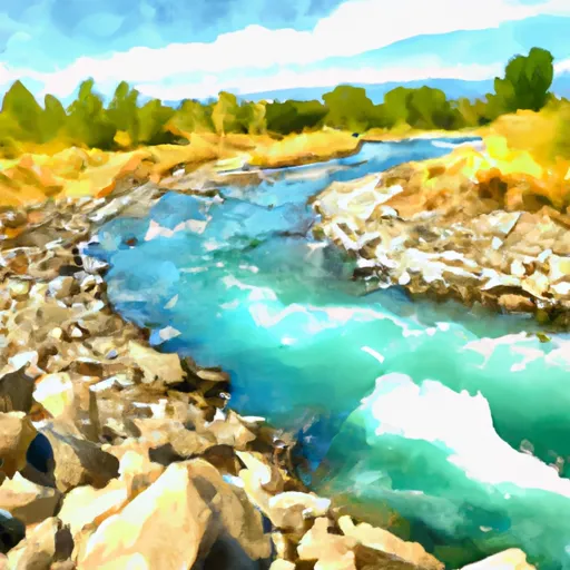 Montana Creek, Sec. 18, T11N, R24W To Fish Creek, Sec. 8, T12N, R24W
-
 Cedar Log Creek Headwaters, Sec. 14, T12N, R26W To Mainstem, Sec. 19, T13N, R25W

