Summary
The ideal streamflow range for this run is between 800 and 2,000 cubic feet per second (cfs). The class rating for this section of the river is Class III to IV, with some rapids reaching Class V at higher flows.
The segment mileage of the Whitewater River Run is approximately seven miles, starting at Wrangle Creek Headwaters in Section 18, T15N, R18W and ending at the mainstem in Section 21, T15N, R18W. Along the way, rafters will encounter a number of rapids and obstacles, including the infamous “Bonecrusher” rapid, which has a large boulder in the middle that can create a dangerous hydraulic.
There are specific regulations in place for this area, including a requirement for all rafters to wear a life jacket and carry a whistle. In addition, motorized watercraft are not allowed on this section of the river.
Overall, the Whitewater River Run is a challenging and exciting stretch of river that requires skill and experience to navigate safely. Rafters should be aware of the ideal streamflow range, class rating, and specific regulations in order to have a successful and enjoyable trip.
°F
°F
mph
Wind
%
Humidity
15-Day Weather Outlook
River Run Details
| Last Updated | 2026-02-07 |
| River Levels | 132 cfs (2.2 ft) |
| Percent of Normal | 127% |
| Status | |
| Class Level | iii-v |
| Elevation | ft |
| Streamflow Discharge | cfs |
| Gauge Height | ft |
| Reporting Streamgage | USGS 12381400 |
5-Day Hourly Forecast Detail
Nearby Streamflow Levels
 South Fork Jocko River Near Arlee Mt
|
21cfs |
 Clark Fork Above Missoula Mt
|
1660cfs |
 Blackfoot River Near Bonner Mt
|
836cfs |
 Clark Fork Below Missoula Mt
|
3010cfs |
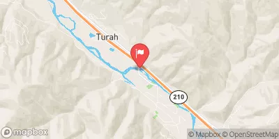 Clark Fork At Turah Bridge Nr Bonner Mt
|
787cfs |
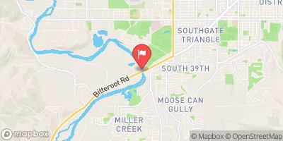 Bitterroot River Near Missoula Mt
|
1410cfs |
River Runs
-
 Wrangle Creek Headwaters, Sec. 18, T15N, R18W To Mainstem, Sec. 21, T15N, R18W
-
 Lake Creek Headwaters, Sec. 30, T15N, R18W To Mainstem, Sec. 21, T15N, R18W
-
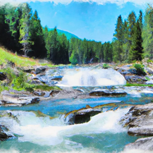 High Falls Creek Headwaters, Sec. 5, T14N, R18W To Mainstem, Sec. 2, T14N, R18W
-
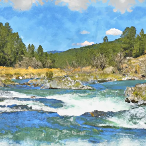 East Fork Headwaters, Sec. 8, T14N, R17W To Mainstem, Sec. 14, T14N, R18W
-
 Spring Gulch Headwaters, Sec. 12, T14N, R19W To Mainstem, Sec. 35, T14N, R19W
-
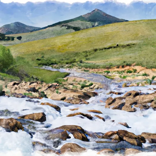 Mainstem Headwaters, Sec. 4, T15N, R18W To Boundary, Sec. 2, T13N, R18W

