Summary
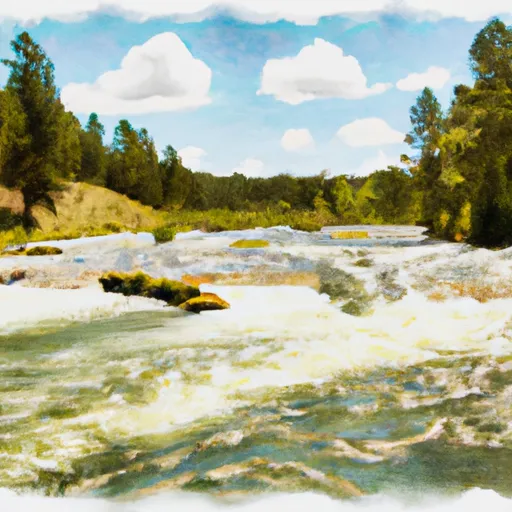
The ideal streamflow range for this segment is between 500 and 2,000 cubic feet per second (cfs), which typically occurs during the spring runoff season. The class rating for this section of the river is Class III-IV, making it best suited for experienced paddlers.
The segment mileage for this run is approximately 14 miles, with several notable rapids and obstacles along the way. The first significant rapid is called "The Notch," which requires precise maneuvering to navigate safely. Other notable rapids include "S-Turn," "Boxcar," and "Jaws." These rapids can be challenging, particularly at higher streamflows.
There are specific regulations in place for the Cooney Creek Headwaters to Mainstem run, including a permit requirement for commercial outfitters and a ban on camping within 300 feet of the river. Additionally, boaters are required to carry a Type III Personal Flotation Device (PFD) and a whistle, and motorized watercraft are not permitted on this section of the river.
Overall, the Cooney Creek Headwaters to Mainstem run on the Whitewater River in Montana offers a thrilling and challenging experience for experienced whitewater paddlers. However, it's important to check current streamflow conditions and adhere to all regulations to ensure a safe and enjoyable trip.
°F
°F
mph
Wind
%
Humidity
15-Day Weather Outlook
River Run Details
| Last Updated | 2026-02-07 |
| River Levels | 1560 cfs (4.07 ft) |
| Percent of Normal | 64% |
| Status | |
| Class Level | iii-iv |
| Elevation | ft |
| Streamflow Discharge | cfs |
| Gauge Height | ft |
| Reporting Streamgage | USGS 06079000 |
5-Day Hourly Forecast Detail
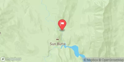
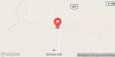
Nearby Streamflow Levels
Area Campgrounds
| Location | Reservations | Toilets |
|---|---|---|
 Double Falls Campground
|
||
 Wood Lake
|
||
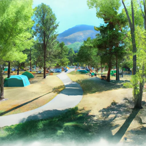 Wood Lake Campground
|
River Runs
-
 Cooney Cr Headwaters, Sec. 17, T19N, R9W To Mainstem, Sec. 1, T17N, R10W
-
 Dobrota Headwaters, Sec. 23, T18N, R10W To Mainstem, Sec. 31, T18N, R9W
-
 Dry Fork Headwaters, Sec. 30, T17N, R10W To Mainstem, Sec. 30, T17N, R10W
-
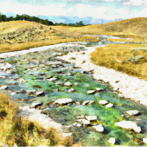 Cabin Creek Headwaters, Sec. 13, T17N, R10W To Dry Fork, Sec. 13, T17N, R11W
-
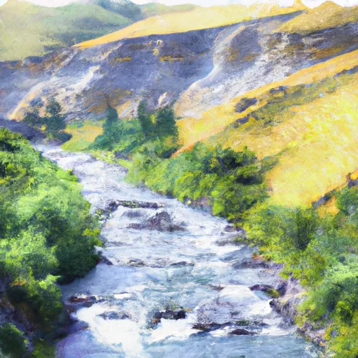 Canyon Creek Headwaters, Sec. 28, T17N, R11W To Dry Creek, Sec. 11, T17N, R11W
-
 Headwaters, Sec. 15, T18N, R10W To Straight Creek, Sec. 25, T19N, R10W


