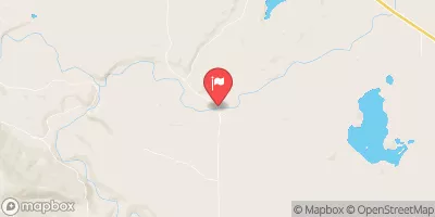
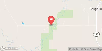
Summary
The Dry Fork Headwaters to Mainstem segment of the Whitewater River in Montana is a popular destination for kayakers and rafters, offering a challenging and scenic run through rugged terrain. The ideal streamflow range for this section of the river is between 500 and 1,000 cubic feet per second (cfs), although it can be run at higher flows with caution. The class rating for this section is Class III-IV, with several technical rapids and obstacles including Boulder Drop, Pinball, and Pterodactyl. The segment covers approximately 10 miles and takes around 2-3 hours to complete.
There are specific regulations in place for the Whitewater River, including a permitting system for commercial river outfitters and a requirement for personal flotation devices for all participants. The river is also closed to boaters during the winter months due to ice and snow hazards. It is important for all visitors to respect these regulations and practice Leave No Trace principles to protect the natural environment.
°F
°F
mph
Wind
%
Humidity
15-Day Weather Outlook
River Run Details
| Last Updated | 2026-02-07 |
| River Levels | 1000 cfs (5.87 ft) |
| Percent of Normal | 176% |
| Status | |
| Class Level | iii-iv |
| Elevation | ft |
| Streamflow Discharge | cfs |
| Gauge Height | ft |
| Reporting Streamgage | USGS 12338300 |
5-Day Hourly Forecast Detail
Nearby Streamflow Levels
Area Campgrounds
| Location | Reservations | Toilets |
|---|---|---|
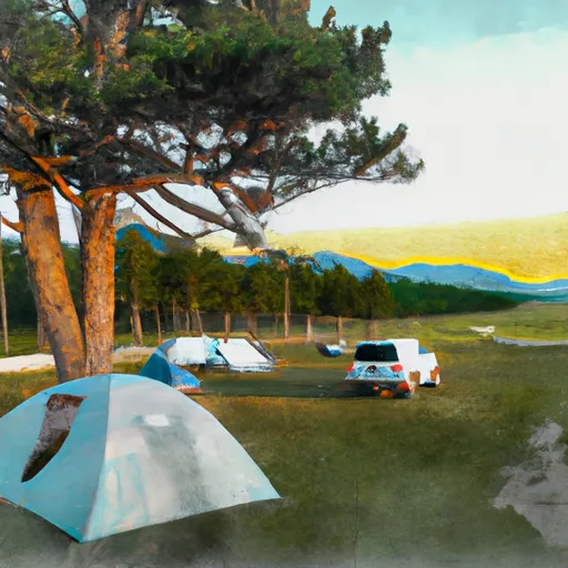 Big Nelson Complex
|
||
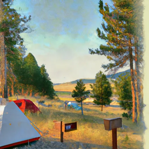 Big Nelson Campground
|
||
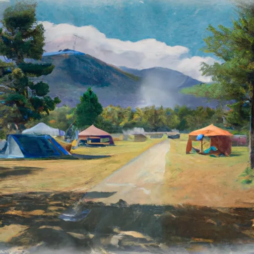 Monture Creek Campground
|
||
 Monture Creek
|
||
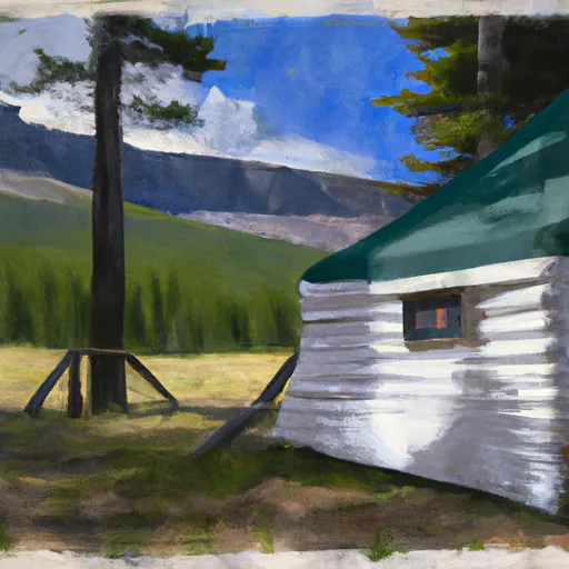 Monture Guard Station Cabin
|
River Runs
-
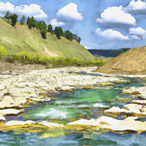 Dry Fork Headwaters, Sec. 30, T17N, R10W To Mainstem, Sec. 30, T17N, R10W
-
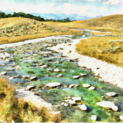 Cabin Creek Headwaters, Sec. 13, T17N, R10W To Dry Fork, Sec. 13, T17N, R11W
-
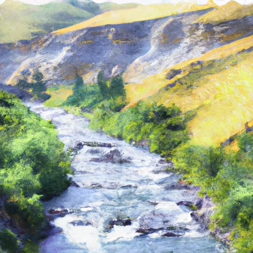 Canyon Creek Headwaters, Sec. 28, T17N, R11W To Dry Creek, Sec. 11, T17N, R11W
-
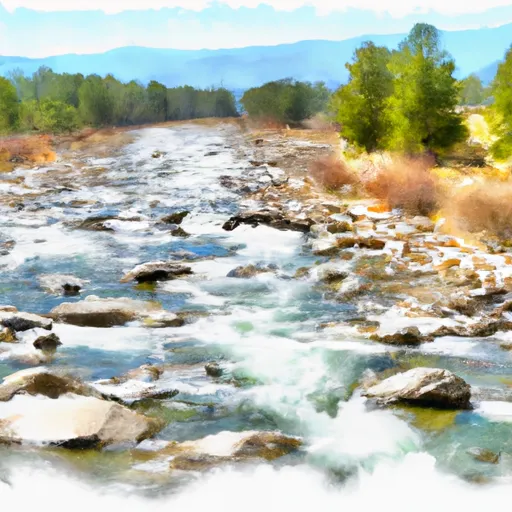 Dwight Creek, Sec. 12, T17N, R12W To Dry Creek, Sec. 3, T17N, R11W
-
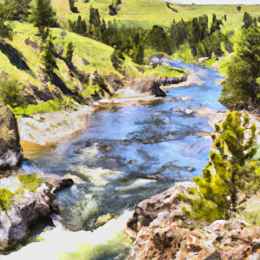 Nf Blackfoot Headwaters, Sec. 34, T18N, R9W To Main North Fork Trailhead, Sec. 27, T16N, R11W
-
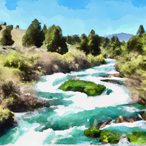 Cooney Cr Headwaters, Sec. 17, T19N, R9W To Mainstem, Sec. 1, T17N, R10W


