Summary
The ideal streamflow range for this section of the river is between 1,000 and 3,000 cubic feet per second (cfs). The class rating for this section of the river is class III-IV, which is suitable for experienced paddlers. The segment mileage is around 8 miles, starting from Falls, Sec. 25, T14N, R4E, and ending at Smith River, Sec. 25, T14N, R3E. This section of the river features several rapids and obstacles, including the "Hole in the Wall" and "The Ledge." Paddlers should be aware of these obstacles and take appropriate safety precautions.
There are specific regulations that apply to this area, including a permit requirement for overnight trips and a limit on the number of permits issued each year. Additionally, the use of motorized watercraft is prohibited on this section of the river. Visitors should also be aware of the Leave No Trace principles and be sure to pack out all trash and waste. It is important to note that river conditions can change quickly and paddlers should always exercise caution and consult with local authorities before embarking on a trip.
°F
°F
mph
Wind
%
Humidity
15-Day Weather Outlook
River Run Details
| Last Updated | 2025-12-01 |
| River Levels | 1050 cfs (5.13 ft) |
| Percent of Normal | 123% |
| Status | |
| Class Level | iii-iv |
| Elevation | ft |
| Streamflow Discharge | cfs |
| Gauge Height | ft |
| Reporting Streamgage | USGS 06077200 |
5-Day Hourly Forecast Detail
Nearby Streamflow Levels
 Smith River Bl Eagle Cr Nr Fort Logan Mt
|
174cfs |
 Smith River Near Ft Logan Mt
|
88cfs |
 Smith River Near Eden Mt
|
119cfs |
 Belt Creek Near Monarch Mt
|
25cfs |
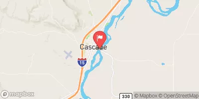 Missouri River At Cascade Mt
|
3650cfs |
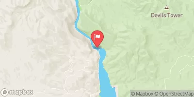 Missouri River Bl Hauser Lake Nr Helena Mt
|
3370cfs |


 Falls, Sec. 25, T14N, R4E To Smith River, Sec. 25, T14N, R3E
 Camp Baker to Eden Bridge
 Tenderfoot Creek, Sec. 30, T14N, R4E To Deep Creek, Sec. 31, T16N, R4E