Summary
It is approximately 20 feet wide and can accommodate two boats at a time.
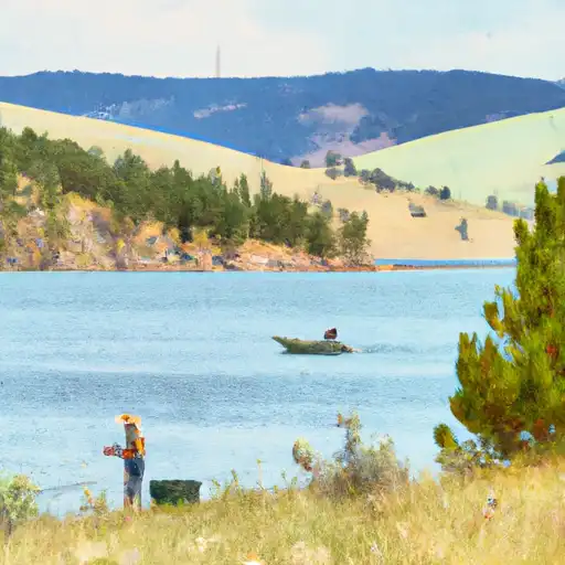
The boat ramp provides access to the Missouri River, which is a popular spot for fishing, boating, and other recreational activities. The Missouri River is a significant river in the United States and is approximately 2,341 miles long, making it one of the longest rivers in North America.
As for the type of craft permitted on the water, the Missouri River is open to a wide range of boats, including kayaks, canoes, motorboats, and sailboats. However, it is important to note that certain areas of the river may be restricted to certain types of boats or have specific regulations in place, so it is always best to check with local authorities before launching.
Overall, the York Road boat ramp is a convenient and accessible spot for anyone looking to enjoy the Missouri River in Lewis and Clark County, Montana.
°F
°F
mph
Wind
%
Humidity

 York Road Lewis and Clark County
 DEVILS ELBOW BOAT RAMP
 WHITE SANDY BOAT RAMP
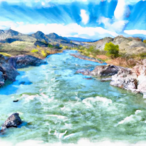 Missouri River
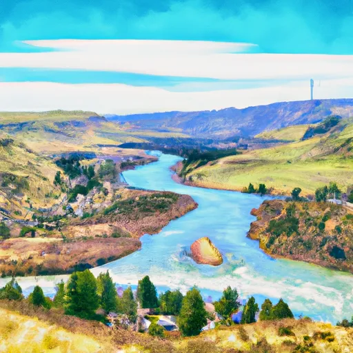 Town Of Nelson, Sec. 12, T12N, R2W To Missouri River, Sec. 19, T12N, R2W
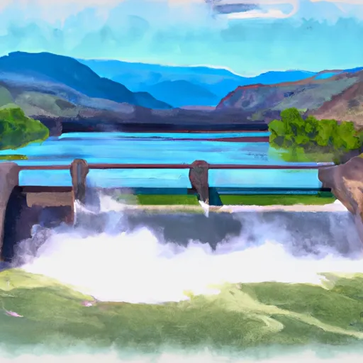 Hauser Dam, Sec. 29, T12N, R2W To Cochran Gulch, Sec. 18, T12N, R2W
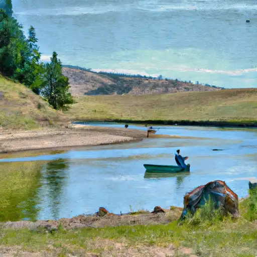 Prickly Pear Creek
 Helena Valley Regulating Reservoir
 Missouri River Fishing Access Site