Summary
The Whitewater River Run in Montana offers a thrilling adventure for experienced paddlers. The ideal streamflow range for this run is between 800-1500 cfs. This section of the river is rated as class III-IV, with some rapids being class V during high water. The segment mileage is approximately 18 miles, starting at the Lick Creek Bridge and ending at Twin Lakes Dam.
The river features several notable rapids, including "Pinball," "Lick Creek Falls," and "Bear Creek Rapid." These rapids offer challenging obstacles for paddlers, requiring advanced skills and experience to navigate safely.
There are specific regulations for this area, including a permit requirement for camping and a prohibition on campfires above 5000 feet elevation. Additionally, all boaters must carry proper safety equipment, including a personal flotation device and a helmet.
°F
°F
mph
Wind
%
Humidity
15-Day Weather Outlook
River Run Details
| Last Updated | 2026-02-07 |
| River Levels | 2050 cfs (3.88 ft) |
| Percent of Normal | 117% |
| Status | |
| Class Level | iii-iv |
| Elevation | ft |
| Streamflow Discharge | cfs |
| Gauge Height | ft |
| Reporting Streamgage | USGS 12344000 |
5-Day Hourly Forecast Detail
Nearby Streamflow Levels
Area Campgrounds
| Location | Reservations | Toilets |
|---|---|---|
 Three Frogs Campground
|
||
 Upper Como
|
||
 Lake Como
|
||
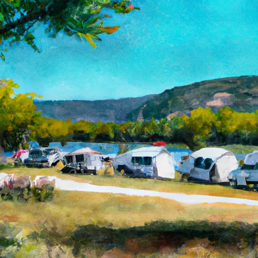 Lake Como Campground
|
||
 Wood's Cabin
|
||
 Three Sisters Group Site Campground
|
River Runs
-
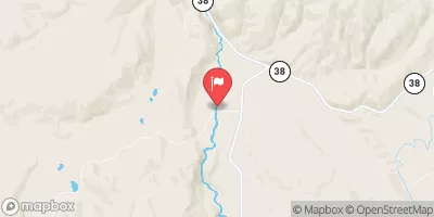
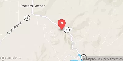
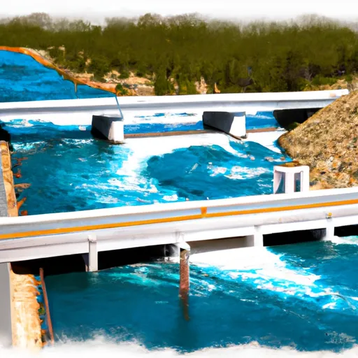 Lick Creek Bridge, Sec. 18, T4N, R21W To Bear Creek Pass, Sec. 5, T4N, R23W And Twin Lakes Dam, Sec. 29, T5N, R23W
-
 West Side Blodgett Campground, Sec. 17, T6N, R21W To Bitterroot Forest Boundary, Sec. 17, T6N, R21W
-
 S-B Boundary, Sec. 17, T6N, R21W To Westside Of Blodgett Campground, Sec. 17, T6N, R22W




 Lake Como Road Ravalli County