Spring Gulch Headwaters, Sec. 12, T14n, R19w To Mainstem, Sec. 35, T14n, R19w River Run
Community Reviews
Been here? Share the conditions.
Reviews, ratings & photos are added in the free Snoflo iOS app — rate a spot, tag the conditions, and your visit is verified by location. Add or manage your reviews from the app.
Spring Gulch Headwaters, Sec. 12, T14n, R19w To Mainstem, Sec. 35, T14n, R19w
Specific regulations to the area include permits, which are required for commercial outfitters and guides. Private boaters are also required to have a permit, which can be obtained through a lottery system. Additionally, there are restrictions on camping, fires, and human waste disposal within 200 feet of the river.
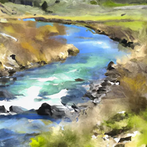
According to the Montana Whitewater website, this segment of the Whitewater River Run "offers a great combination of scenery, whitewater, and wilderness adventure." However, it is important for paddlers to have experience with Class III-IV rapids and to take proper safety precautions, including wearing appropriate gear and running the rapids with a partner.
Overall, the Spring Gulch Headwaters to Mainstem segment of the Whitewater River Run is a challenging and scenic destination for experienced whitewater enthusiasts, with specific regulations in place to protect the area and ensure visitor safety.
Plan your run down to the hour
Same weather feed Snoflo's iOS app uses -- updated continuously from NOAA / yr.no. Watch the precipitation column on the meteogram; rain ahead of a run typically lifts flows 12-48 hours later depending on the basin.
Next 5 days, hour by hour
Temperature line with weather symbols on top, snow + rain accumulation as columns, humidity as a dotted line.
5-day forecast table
Every 3 hours, broken out across temperature, snow, rain, humidity, and wind. Each cell is colour-coded relative to the column min/max.
| Time | Condition | Temp (°F) | Snow (in) | Rain (in) | Humidity (%) | Wind (mps) | Wind dir |
|---|---|---|---|---|---|---|---|
| Loading detailed forecast… | |||||||
15-day temperature & precipitation
Daily temperatures, snow, and rain projected over the next two weeks -- the upstream story that drives next week's flows.
Regional streamflow levels
USGS streamgauges around Spring Gulch Headwaters, Sec. 12, T14n, R19w To Mainstem, Sec. 35, T14n, R19w -- useful for spotting upstream pulses and gauging which tributary is contributing what.
| Streamgauge | Discharge | View |
|---|---|---|
| Clark Fork Above Missoula Mt | 2,060 cfs | → |
| Bitterroot River Near Missoula Mt | 921 cfs | → |
| Clark Fork Below Missoula Mt | 2,990 cfs | → |
| Blackfoot River Near Bonner Mt | 1,090 cfs | → |
| Clark Fork At Turah Bridge Nr Bonner Mt | 968 cfs | → |
| South Fork Jocko River Near Arlee Mt | 54 cfs | → |
Plan a longer trip
The closest boat launches, other paddle runs, and campgrounds so a day on the water can grow into a full weekend.
Boat launches
Other river runs
- Mainstem Headwaters, Sec. 4, T15n, R18w To Boundary, Sec. 2, T13n, R18w
- Missoula Town Run
- East Fork Headwaters, Sec. 8, T14n, R17w To Mainstem, Sec. 14, T14n, R18w
- High Falls Creek Headwaters, Sec. 5, T14n, R18w To Mainstem, Sec. 2, T14n, R18w
- Lake Creek Headwaters, Sec. 30, T15n, R18w To Mainstem, Sec. 21, T15n, R18w
Campgrounds
Fishing spots
- Blackfoot River
- Bitterroot River
- Deep Creek Fishing Access
- Belmont Creek
- Petty Creek Fishing Access
- Blacktail Lake
Whitewater safety
- Check the flow before you run
- Use the linked-gauge card and Regional Flow panel above. Class ratings change with flow -- a Class III at low water can become Class IV+ at high water.
- Know your skill ceiling
- Pick runs comfortably below your ceiling. Cold-water and big-water runs raise the consequences of any mistake.
- Wear the right gear
- Helmet, PFD, drysuit / wetsuit when water is below 60°F. Throw bag, knife, and whistle on your person, not in the boat.
- Scout, set safety, and run with a team
- Scout new rapids on foot, set safety with throw bags above the consequence pool, and run with at least one other competent paddler.
- Respect the river
- Strainers, undercuts, low-head dams, and wood can kill at any class rating. When in doubt, portage.
Set push alerts in the Snoflo app
Save Spring Gulch Headwaters, Sec. 12, T14n, R19w To Mainstem, Sec. 35, T14n, R19w as a favorite, set a discharge threshold (e.g. "alert me when flow hits 600 cfs"), and the iOS app pushes the moment the linked gauge crosses.
About Spring Gulch Headwaters, Sec. 12, T14n, R19w To Mainstem, Sec. 35, T14n, R19w
What's the optimal flow for Spring Gulch Headwaters, Sec. 12, T14n, R19w To Mainstem, Sec. 35, T14n, R19w?
The optimal flow depends on the section and the craft. Check the Run Details panel for the linked gauge and current status.
How fresh is the cfs reading on this page?
The linked USGS streamgauge reports continuously (every 15 minutes); Snoflo refreshes throughout the day. Hover the streamflow sparkline to read individual datapoints.
What's the whitewater class?
See the Run Details panel for the class rating Snoflo tracks for this run. Class ratings change with flow -- a Class III at low water can become Class IV in high water.
Where do I put in / take out?
Tap Directions in the hero above to open driving directions to the put-in. For shuttle planning, check the Nearby Boat Launches panel and the river run operator's site.
Can I get alerts when flows hit the optimal range?
Yes -- alerts are managed in the Snoflo iOS app. Favorite this run, set a discharge threshold, and you'll get a push the moment the gauge crosses.
Other runs near here
Snoflo-tracked paddle runs within driving distance of Spring Gulch Headwaters, Sec. 12, T14n, R19w To Mainstem, Sec. 35, T14n, R19w.