Summary
The website states that the ramp is 16 feet wide and provides access to the river for various watercraft, including motorized and non-motorized boats such as canoes, kayaks, rafts, and powerboats.
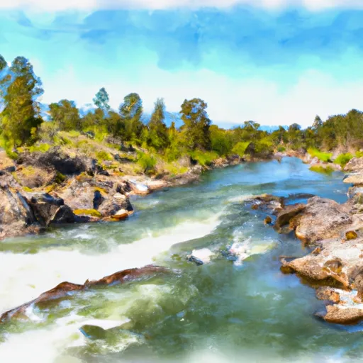
The Clark Fork River is a major body of water in western Montana, running approximately 310 miles from its headwaters in the Rocky Mountains to its confluence with the Flathead River near Paradise, Montana. The river is popular for fishing, boating, and other recreational activities and is home to various fish species, including rainbow trout, brown trout, and cutthroat trout.
Based on the information available, it appears that MT 200 10495 is a public boat ramp that provides access to the Clark Fork River for a variety of watercraft. However, it is important to note that regulations regarding boat access and use can vary depending on the location and time of year. It is always best to check with local authorities or the Montana Fish, Wildlife & Parks website for the most up-to-date information regarding boat ramps and other recreational opportunities in the area.
°F
°F
mph
Wind
%
Humidity
15-Day Weather Outlook
Nearby Boat Launches
5-Day Hourly Forecast Detail
Area Streamflow Levels
| CLARK FORK ABOVE MISSOULA MT | 1660cfs |
| CLARK FORK AT TURAH BRIDGE NR BONNER MT | 787cfs |
| BLACKFOOT RIVER NEAR BONNER MT | 836cfs |
| BITTERROOT RIVER NEAR MISSOULA MT | 1410cfs |
| CLARK FORK BELOW MISSOULA MT | 3010cfs |
| ROCK CREEK NEAR CLINTON MT | 240cfs |
River Runs
-
 Missoula Town Run
-
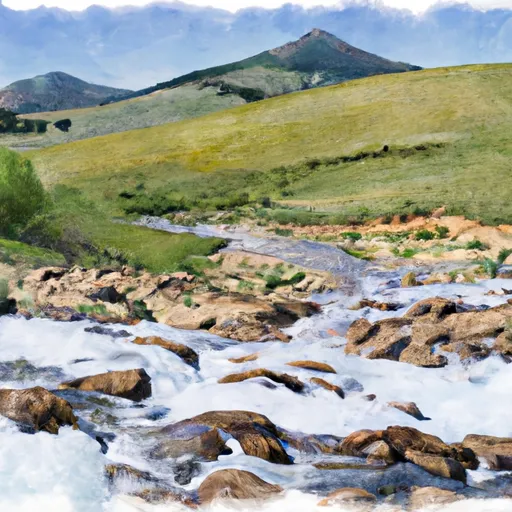 Mainstem Headwaters, Sec. 4, T15N, R18W To Boundary, Sec. 2, T13N, R18W
-
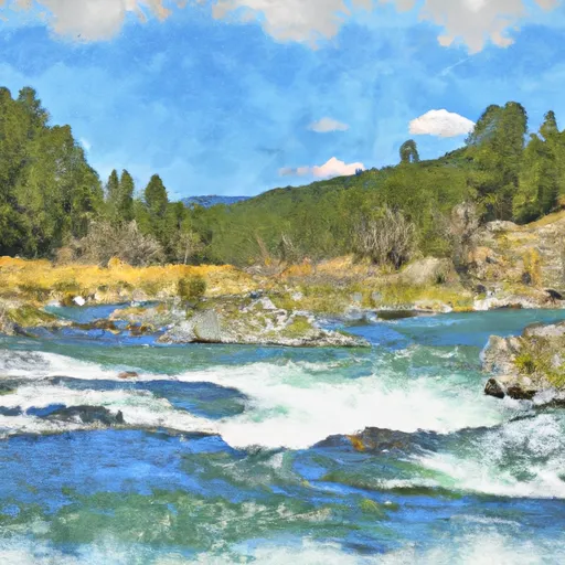 East Fork Headwaters, Sec. 8, T14N, R17W To Mainstem, Sec. 14, T14N, R18W
-
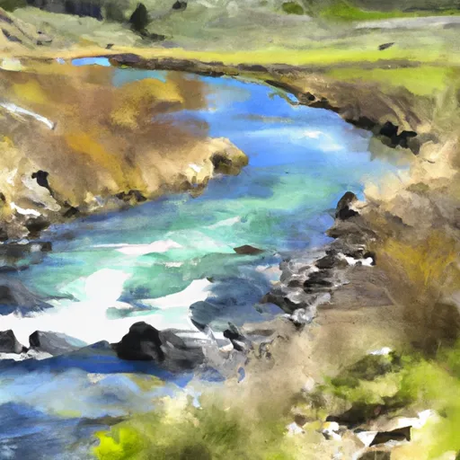 Spring Gulch Headwaters, Sec. 12, T14N, R19W To Mainstem, Sec. 35, T14N, R19W
-
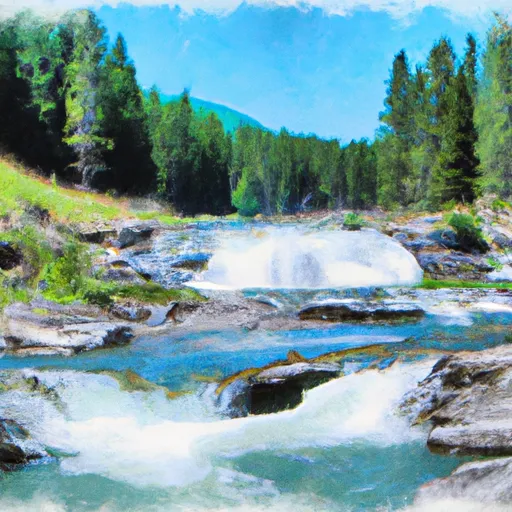 High Falls Creek Headwaters, Sec. 5, T14N, R18W To Mainstem, Sec. 2, T14N, R18W
-
 Blackfoot River

 MT 200 10495, Missoula County
 Johnsrud Boat Launch