Summary
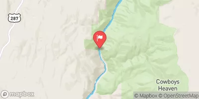
22, T4S, R4W and ending at Upper Branham Lake, Sec. 5, T4S, R3W. This segment of the river covers a distance of approximately 20 miles and is rated as Class III to IV, making it suitable for experienced kayakers and rafters. The ideal streamflow range for this run is between 800 and 1,500 cfs, which typically occurs during the spring and early summer months.
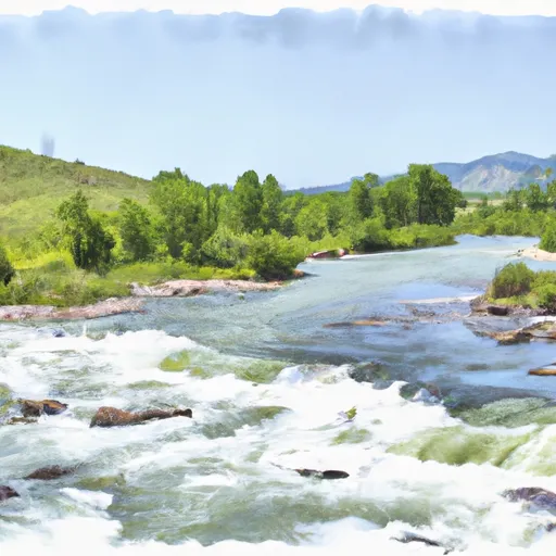
The river is known for its challenging rapids and obstacles, such as the "Big Timber Rapid" and "The Notch." These obstacles require skilled navigation and careful consideration to avoid accidents. It is also important to note that this river run is subject to regulations, including the use of personal flotation devices and adherence to Leave No Trace principles. Additionally, motorized vehicles are not allowed in the area, and camping is only allowed in designated areas.
°F
°F
mph
Wind
%
Humidity
15-Day Weather Outlook
River Run Details
| Last Updated | 2025-11-03 |
| River Levels | 822 cfs (4.85 ft) |
| Percent of Normal | 93% |
| Status | |
| Class Level | iii |
| Elevation | ft |
| Streamflow Discharge | cfs |
| Gauge Height | ft |
| Reporting Streamgage | USGS 06023000 |
5-Day Hourly Forecast Detail
Nearby Streamflow Levels
Area Campgrounds
| Location | Reservations | Toilets |
|---|---|---|
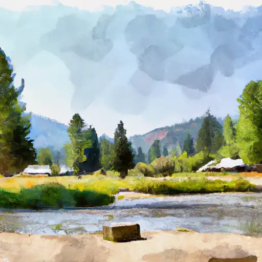 Mill Creek
|
||
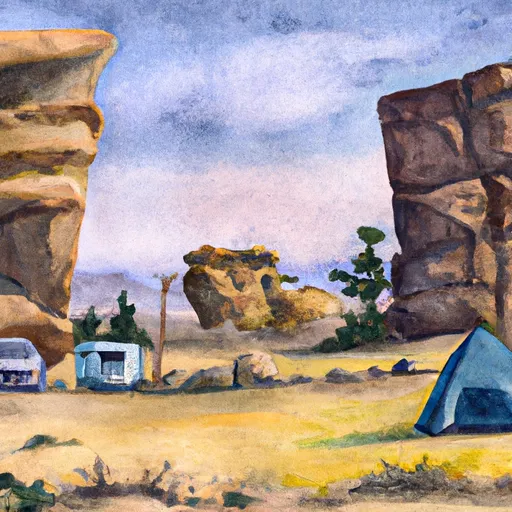 Balanced Rock
|
||
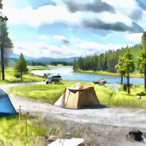 Branham Lakes
|
||
 Branham Lakes Campground and Picnic Area
|
||
 Potosi Campground
|
||
 Potosi
|


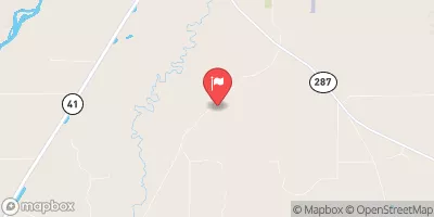
 Beaverhead Boundary Sec. 22, T4S, R4W To Upper Branham Lake, Sec. 5, T4S, R3W