Summary
The ideal streamflow range for this river is between 1,000 and 4,000 cfs, making it a Class III to IV river. The route covers a distance of approximately 10 miles from Pattengail Ck. Sec. 11, T2S, R12W to Jaccobsen & Mono Cks, Sec. 33, T3S, R12W.
Throughout the route, kayakers and rafters will encounter several obstacles, including rapids such as "Double Drop," "The Notch," and "Devil's Toenail." There are also several rocky areas along the river that require careful navigation.
It is important to note that special regulations apply to this area. For example, all boaters must wear a personal flotation device, and river permits are required for all watercraft. Additionally, there are specific regulations regarding camping and fires in the area.
In summary, the Whitewater River run in Montana is a challenging Class III to IV river covering a distance of about 10 miles. With several rapids and rocky areas to navigate, it is an ideal route for experienced kayakers and rafters. However, it is important to be aware of the specific regulations that apply to the area to ensure a safe and enjoyable experience.
°F
°F
mph
Wind
%
Humidity
15-Day Weather Outlook
River Run Details
| Last Updated | 2025-11-03 |
| River Levels | 4180 cfs (5.73 ft) |
| Percent of Normal | 71% |
| Status | |
| Class Level | iii |
| Elevation | ft |
| Streamflow Discharge | cfs |
| Gauge Height | ft |
| Reporting Streamgage | USGS 06025250 |
5-Day Hourly Forecast Detail
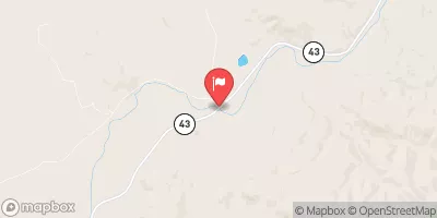
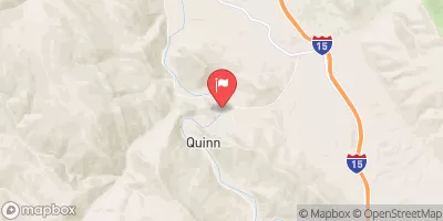
Nearby Streamflow Levels
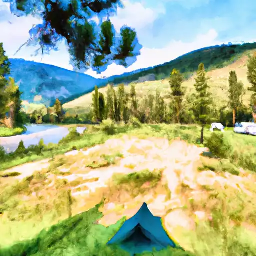
Area Campgrounds
| Location | Reservations | Toilets |
|---|---|---|
 Boulder Creek
|
||
 Pettengill Campground
|
||
 Willow Campground
|
||
 Willow
|
||
 Little Joe
|
||
 Little Joe Campground
|


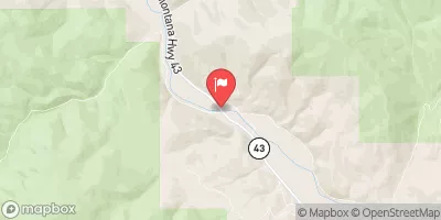
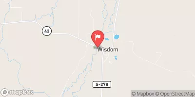
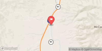
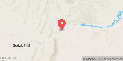
 Pattengail Ck. Sec. 11, T2S, R12W To Jaccobsen & Mono Cks, Sec. 33, T3S, R12W
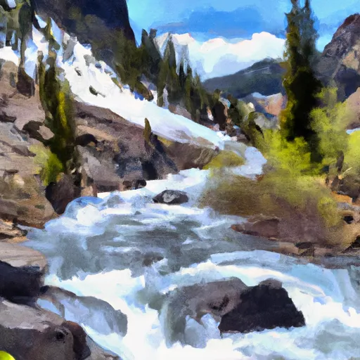 Proposed Torrey Peak Wilderness To Proposed Torrey Peak Wilderness
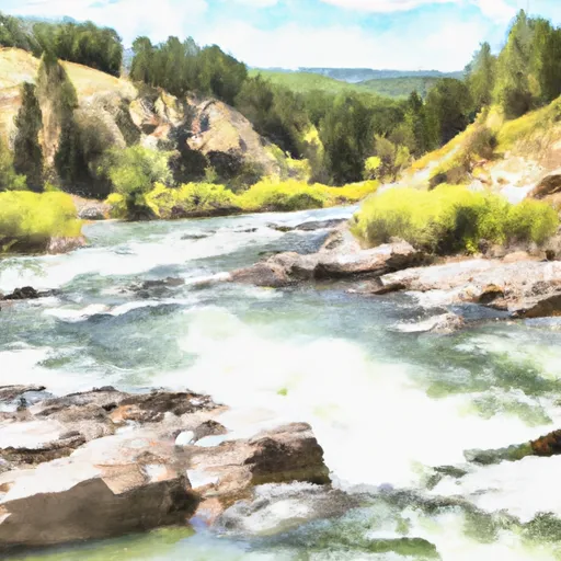 Sec 15, T2S, R10W To Lion Cr, Sec. 4, T3S, R11W