Summary
The ideal streamflow range for this run is between 500-1500 cubic feet per second (cfs), which typically occurs during the spring runoff season. The class rating for this segment is Class III-V, with challenging rapids and obstacles that require technical maneuvering skills. The segment mileage is approximately 15 miles, with stunning views of the surrounding wilderness.
Some of the notable rapids and obstacles on this run include the Entrance Exam, a steep and technical drop that requires precise navigation, and the Terminator, a Class V rapid with a dangerous undercut wall. Other notable features include the challenging portages around the Upper and Lower Falls, which require careful planning and strong teamwork.
The proposed Torrey Peak Wilderness area has specific regulations to protect the natural environment and ensure the safety of visitors. These regulations include restrictions on camping and campfires, as well as guidelines for waste disposal and wildlife conservation. Visitors should also be aware of potential hazards such as rockfall, high water levels, and changing weather conditions.
Overall, the Whitewater River Run in the proposed Torrey Peak Wilderness offers an exciting and challenging adventure for experienced kayakers and rafters. However, visitors should be aware of the specific regulations and potential hazards in the area to ensure a safe and enjoyable trip.
°F
°F
mph
Wind
%
Humidity
15-Day Weather Outlook
River Run Details
| Last Updated | 2025-12-19 |
| River Levels | 1120 cfs (4.58 ft) |
| Percent of Normal | 100% |
| Status | |
| Class Level | iii-v |
| Elevation | ft |
| Streamflow Discharge | cfs |
| Gauge Height | ft |
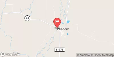
| Reporting Streamgage | USGS 06024450 |
5-Day Hourly Forecast Detail
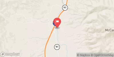
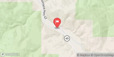
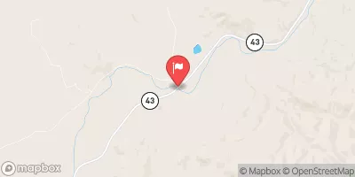
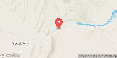
Nearby Streamflow Levels
Area Campgrounds
| Location | Reservations | Toilets |
|---|---|---|
 Willow
|
||
 Willow Campground
|
||
 Boulder Creek
|
||
 Canyon Creek Cabin
|
||
 Little Joe
|
||
 Little Joe Campground
|


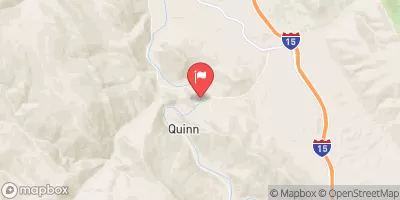
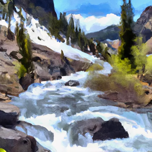 Proposed Torrey Peak Wilderness To Proposed Torrey Peak Wilderness
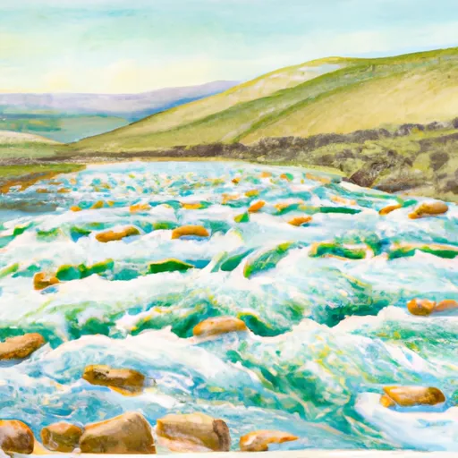 Pattengail Ck. Sec. 11, T2S, R12W To Jaccobsen & Mono Cks, Sec. 33, T3S, R12W
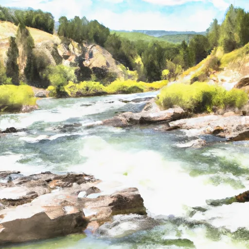 Sec 15, T2S, R10W To Lion Cr, Sec. 4, T3S, R11W