Summary
26, T5S, R12E, and ends in Absaroka-Beartooth Wilderness, Sec. 22, T7S, R12E. The ideal streamflow range for this run is between 500-2000 cfs. The run is rated as a Class II-III, making it suitable for intermediate and advanced paddlers. The segment mileage of the run is approximately 20 miles.
The river features many rapids and obstacles, including a series of Class II and III rapids such as Kitchen Sink, Kooskia, and Devine. The most challenging section of the run is a Class IV rapid known as Devil's Slide. This rapid is a narrow chute that drops 15 feet over a series of boulders, making it a challenging obstacle for even the most experienced paddlers.
There are specific regulations to the area, including a permit system that limits the number of visitors to the Absaroka-Beartooth Wilderness. Additionally, the use of motorized equipment is prohibited on the river. Paddlers should also be aware of potential hazards, such as submerged logs and strainers, and take precautions to avoid them.
Overall, the Bramble Creek run is a challenging and exhilarating whitewater experience in Montana. Paddlers should be experienced and prepared for the Class II-III rapids and the more challenging Devil's Slide rapid. They should also be aware of the specific regulations and potential hazards of the area to ensure a safe and enjoyable trip.
°F
°F
mph
Wind
%
Humidity
15-Day Weather Outlook
River Run Details
| Last Updated | 2026-02-07 |
| River Levels | 203 cfs (1.33 ft) |
| Percent of Normal | 160% |
| Status | |
| Class Level | ii-iii |
| Elevation | ft |
| Streamflow Discharge | cfs |
| Gauge Height | ft |
| Reporting Streamgage | USGS 06204050 |
5-Day Hourly Forecast Detail
Nearby Streamflow Levels
Area Campgrounds
| Location | Reservations | Toilets |
|---|---|---|
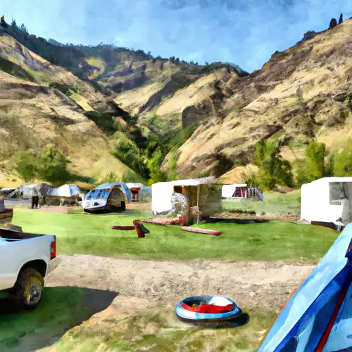 Hells Canyon
|
||
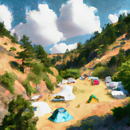 Hell's Canyon Campground
|
||
 Hells Canyon Campground
|
||
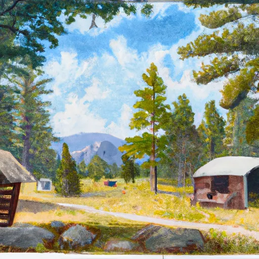 Fourmile Cabin
|
||
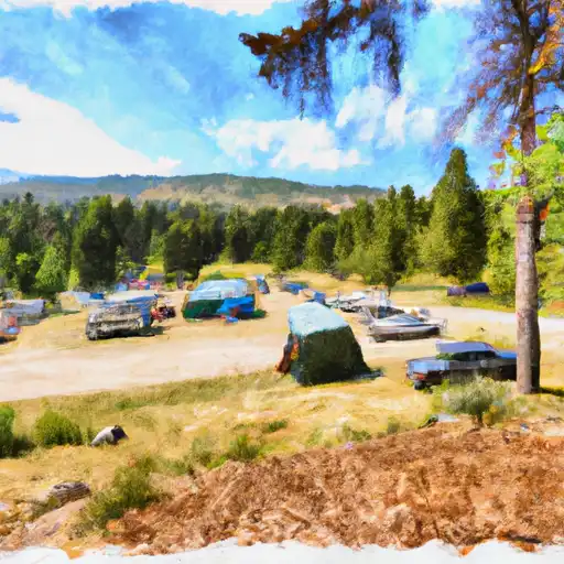 Chippy Park
|
||
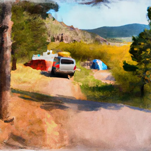 Chippy Park Campground
|


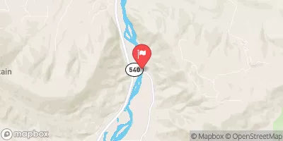
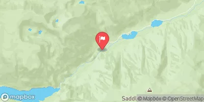
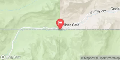
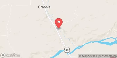
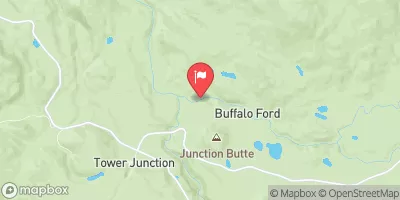
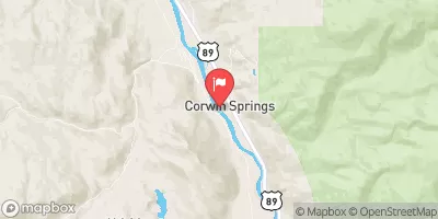
 Bramble Creek, Sec. 26, T5S, R12E To Absaroka-Beartooth Wilderness, Sec. 22, T7S, R12E
 Bible Run
 Miller Creek, Sec. 13, T4S, R21E To Bramble Creek, Sec. 26, T5S, R12E
 Blakley Creek, Sec. 26, T4S, R12E To Miller Creek, Sec 13, T4S, R21E
 Dryad Lake
 East Fork Boulder River
 Asteroid Lake