Summary
The ideal streamflow range for this run is between 500 and 2000 cfs, which typically occurs during the spring runoff season. The run is classified as Class III to IV, with continuous rapids and technical sections requiring skilled maneuvering.
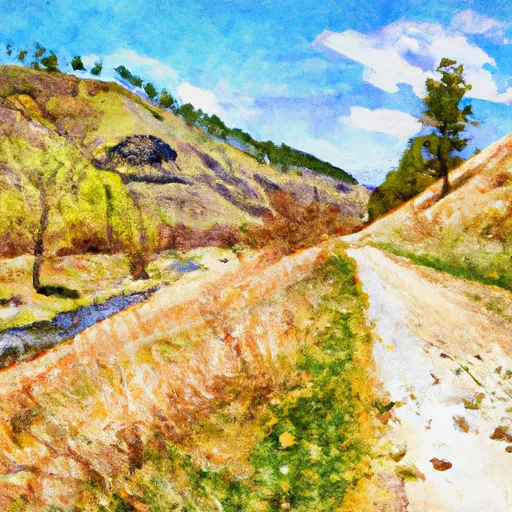
The segment mileage for this run is approximately 8 miles, stretching from Section 28, T8N, R7W to Ontario Creek, Sec. 12, T8N, R7W. The river features several notable rapids, including "The Chute," a narrow and steep drop with a large hole at the bottom, and "Solar Coaster," a series of drops and waves that require precise navigation. Other obstacles include boulder gardens, tight turns, and steep drops.
There are specific regulations in place for the Whitewater River run to ensure safety and protect the natural environment. All boaters are required to wear a personal flotation device (PFD) at all times, and motorized vessels are prohibited. Additionally, it is recommended that boaters have prior experience with Class III to IV rapids and carry proper safety equipment, including a first aid kit and throw rope.
Overall, the Whitewater River run in Montana is a challenging and rewarding experience for experienced whitewater enthusiasts. Boaters should be prepared for technical maneuvers, continuous rapids, and potential hazards, and should follow all regulations to ensure safety and protect the environment.
°F
°F
mph
Wind
%
Humidity
15-Day Weather Outlook
River Run Details
| Last Updated | 2026-01-20 |
| River Levels | 224 cfs (3.37 ft) |
| Percent of Normal | 153% |
| Status | |
| Class Level | iii |
| Elevation | ft |
| Streamflow Discharge | cfs |
| Gauge Height | ft |
| Reporting Streamgage | USGS 06062500 |
5-Day Hourly Forecast Detail
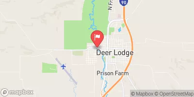
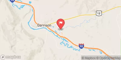
Nearby Streamflow Levels
Area Campgrounds
| Location | Reservations | Toilets |
|---|---|---|
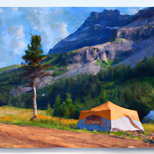 Kading Cabin
|
||
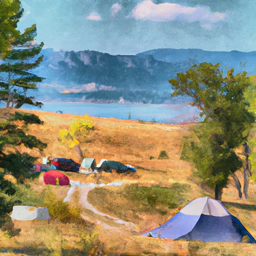 Kading Campground
|
||
 Kading
|
||
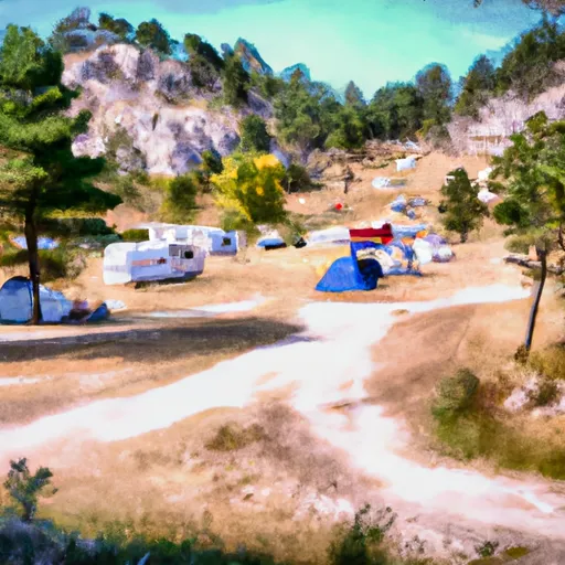 Lading campground
|
||
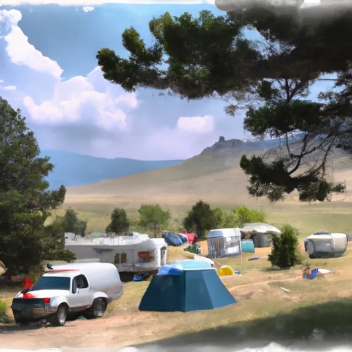 Cromwell Dixon campground
|
||
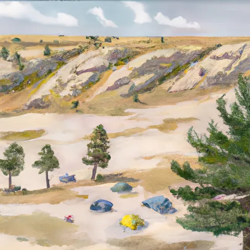 Cromwell Dixon
|


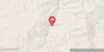
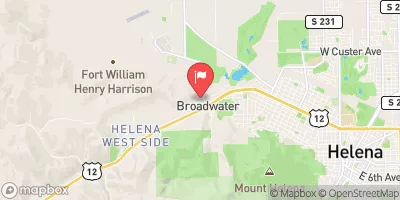
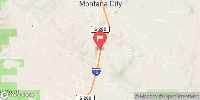
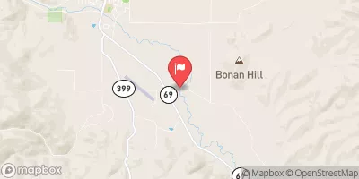
 Sec. 28, T8N, R7W To Ontario Creek, Sec. 12, T8N, R7W
 Trail #329, Sec. 15, T7N, R7W To Sec. 28, T8N, R7W