Summary
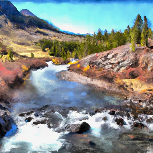
The ideal streamflow range for this section is between 800 and 2,000 cfs, with peak flow occurring in late spring and early summer. The segment mileage for this run is approximately 15 miles, starting at the wilderness boundary and ending at the headwaters.
This section of the river is rated Class III to IV, with several challenging rapids and obstacles along the way. One of the most notable rapids is "The Chute," which features a steep, narrow drop that requires precise navigation. Other notable rapids include "The Boulders," "The Narrows," and "The Slide."
Regulations for this section of the river include a permit requirement for all commercial outfitters and a limit on the number of commercial users per day. Private boaters are also required to obtain a permit to access this section of the river. Additionally, there are specific regulations in place to protect the wilderness area, including a prohibition on camping within 400 feet of the river and restrictions on the use of motorized equipment.
Overall, the Whitewater River run in Montana provides a challenging and exciting experience for experienced kayakers and rafters. It is important to follow all regulations and guidelines to protect the environment and ensure a safe and enjoyable trip.
°F
°F
mph
Wind
%
Humidity
15-Day Weather Outlook
River Run Details
| Last Updated | 2026-02-07 |
| River Levels | 487 cfs (6.38 ft) |
| Percent of Normal | 98% |
| Status | |
| Class Level | iii |
| Elevation | ft |
| Streamflow Discharge | cfs |
| Gauge Height | ft |
| Reporting Streamgage | USGS 06209500 |
5-Day Hourly Forecast Detail
Nearby Streamflow Levels
Area Campgrounds
| Location | Reservations | Toilets |
|---|---|---|
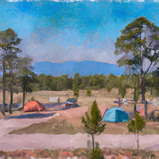 Limber Pine Campground
|
||
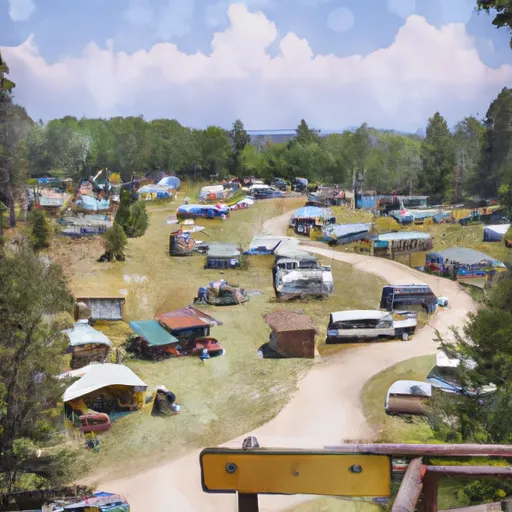 Parkside Campground and Group Campsites
|
||
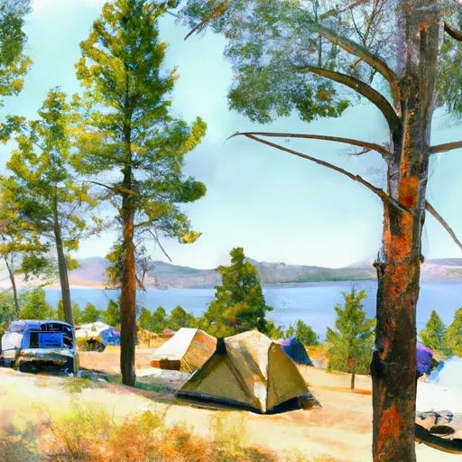 Greenough Lake Campground
|
||
 M-K Campground
|
||
 Rattin Campground
|
||
 Rattine Campground
|
River Runs
-
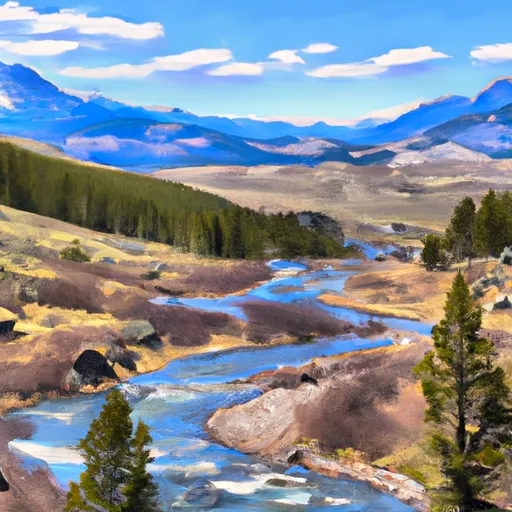 Absaroka-Beartooth Wilderness Boundary To Headwaters, Sec. 10, T9S, R17E
-
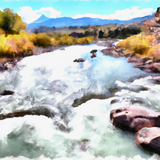 Confluence Rock Creek, Sec. 34, T8S, R19E To Absaroka-Beartooth Wilderness Boundary
-
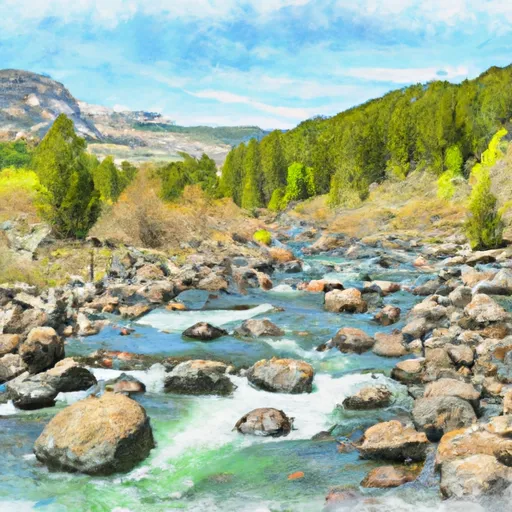 Absaroka-Beartooth Wilderness Boundary To Headwaters, Sec. 20, T9S, R17E
-
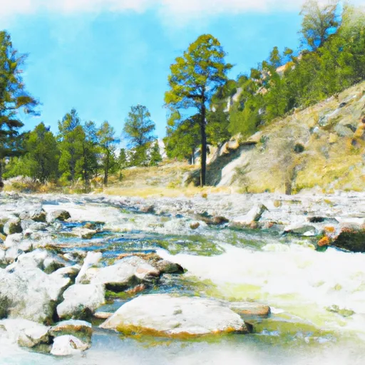 Custer Forest Boundary, Sec. 19, T8S, R20E To Absaroka-Beartooth Wilderness Boundary
-
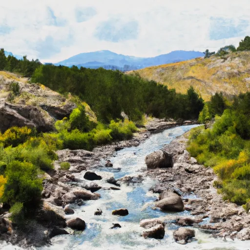 Custer Boundary, Sec. 6, T8S, R20E To Absaroka-Beartooth Wilderness Boundary
-
 Absaroka-Beartooth Wilderness Boundary To Headwaters, Sec. 25, T8S, R17E


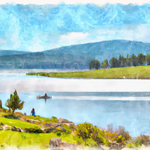
 Mountain Goat Lake
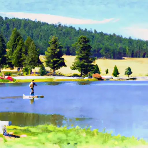
 Dude Lake
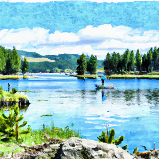
 Albino Lake
 Bowback Lake