Montana Whitewater

GALLAGHER CREEK


STREAMFLOW: 27 CFS


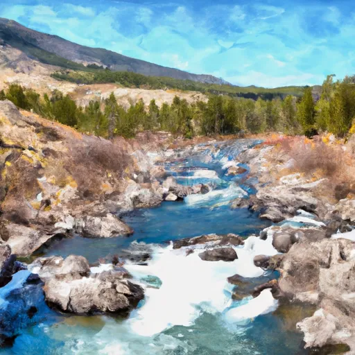
The Gallagher Creek in Montana offers a thrilling ride for kayakers and rafters. The ideal streamflow range for this river run ranges from 200 to 500 cubic feet per second (cfs). The segment mileage of the river is approximately 10 miles with a class rating of III-IV, which makes it a moderately difficult run with technical rapids.

Some of the specific rapids and obstacles on the Gallagher Creek include the "S-Turn" and "Double Drop." These rapids offer an exciting challenge for experienced paddlers with their steep drops, technical maneuvers, and narrow channels. The river also has several rocks and boulders throughout the run, which require careful navigation.

There are several regulations that apply to the Gallagher Creek river run. The Montana Department of Fish, Wildlife, and Parks requires that all watercraft have a current registration or a valid AIS prevention pass. Additionally, the use of personal flotation devices (PFDs) is mandatory for all paddlers on the river.

Overall, the Gallagher Creek river run is a great option for experienced paddlers seeking a challenging and technical adventure. The ideal streamflow range, class rating, segment mileage, specific rapids/obstacles, and regulations must be taken into consideration to ensure a safe and enjoyable experience on this beautiful river. Get driving directions.
GALLAGHER CREEK
Last Updated 2024-04-25
River Levels 57 cfs (2.4 ft)
Percent of Normal 33%
Reporting Streamgauge Nevada Cr ab Reservoir, nr Helmville, MT
Elevation 4,639 ft.
River
Watershed Blackfoot

Nearby Camping
Location Campsites Reservations Toilets Showers Elevation
Big Nelson Complex 4 4,544 ft
Hooper Park 26 4,554 ft