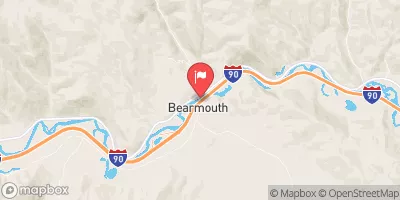
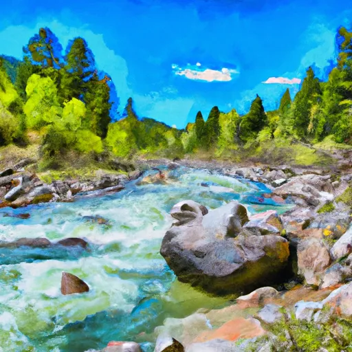
ROCK CREEK

River Runs Kayaking Whitewater
November 23, 2024
Winter Weather Advisory
National Weather Service Until 2024-11-24T12:00:00-07:00
* WHAT...Snow expected. Likelihood of moderate impacts from 3 to 6 inches of snow is greater than 90 percent, and up to a 50 percent chance of isolated major impacts from 6 to 10 inches or more of snow. * WHERE...Highway 93 Sula to Lost Trail Pass and Lolo Pass. * WHEN...Until noon MST Sunday. * IMPACTS...For MODERATE impacts from snow, expect disruptions to normal activities. Hazardous traveling conditions. Use extra caution while driving. Closures and disruptions to infrastructure may occur. For MAJOR impacts from snow, expect considerable disruptions to normal activities. Dangerous or impossible traveling conditions. Avoid travel in the impacted areas if possible. Widespread closures and disruptions to infrastructure may occur.

SUMMARY

Last Updated 2024-09-23
River Levels 485 cfs (3.01 ft)
Percent of Normal 82%
Status
Class Level None
Elevation ft
Streamflow Discharge cfs
Gauge Height ft
Reporting Streamgage
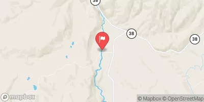
USGS 12332000

Rock Creek is a popular river run for whitewater enthusiasts in the state of Montana. The ideal streamflow range for this run is between 800-2000 cfs, which typically occurs in the late spring and early summer months. The segment mileage for this run is approximately 10 miles, with a class rating of III-IV.

Specific river rapids and obstacles on Rock Creek include House Rock, a large boulder in the middle of the river that requires precise navigation, and the Staircase, a series of drops and chutes that require technical maneuvering. Other notable rapids include Fang, Thunderbolt, and Big Rock.

There are specific regulations in place for the Rock Creek area, including a permit requirement for commercial outfitters and a limit on the number of launches per day. In addition, boaters are required to follow Leave No Trace principles and pack out all trash and waste.

Weather Forecast

°F

°F

mph

Windspeed

%

Humidity


16-Day Long Term Forecast
       

Get Unparalelled Insights

Explore the Map

Whether you're planning your next ski trip or tracking stream flows for an upcoming rafting expedition, our map offers instant access to essential conditions, forecasts, and trends.

Watershed River Levels

4

Cubic Feet Per Second

22

Cubic Feet Per Second

3

Cubic Feet Per Second

55

Cubic Feet Per Second

Point of Interest

Blodgett Park

Blodgett Park

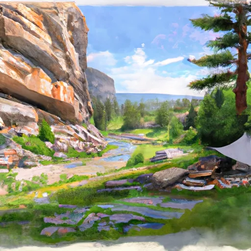
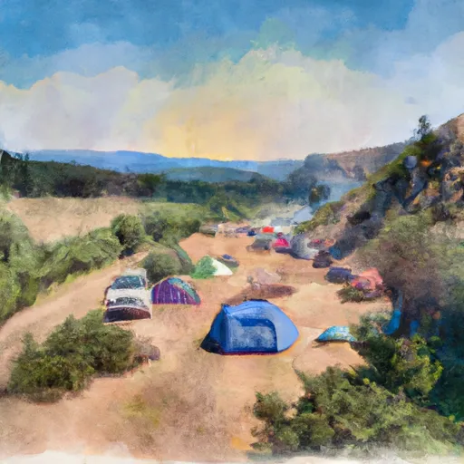
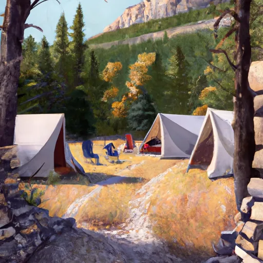
Blodgett Park is a popular recreational area located in the state of Montana. The park offers a variety of activities for visitors, including hiking, mountain biking, fishing, and camping. One of the main attractions of the park is the Blodgett Canyon, which features stunning cliffs, waterfalls, and panoramic views of the surrounding mountains. Other points of interest in the area include the Bitterroot National Forest, which offers additional outdoor activities such as horseback riding and skiing, and the Lee Metcalf National Wildlife Refuge, where visitors can observe a variety of wildlife species in their natural habitat. Interesting facts about the ...