

Summary
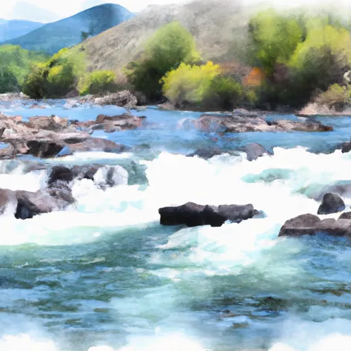
The ideal streamflow range for this river is between 200 and 1500 cfs. The river is rated as a Class II-IV depending on the section being run. The segment mileage of the river is approximately 50 miles, running from its source in the Sapphire Mountains to its confluence with the Clark Fork River.
One notable rapid on Rock Creek is called "Fang," which is a Class IV rapid that requires technical maneuvering skills. Another obstacle on the river is a series of log jams that can be hazardous to navigate around.
The state of Montana has regulations in place to protect this river, including restrictions on motorized watercraft and the use of lead fishing tackle to prevent pollution. Additionally, there are regulations in place for camping and fires in the surrounding area to reduce human impact on the river and its ecosystem.
Overall, Rock Creek offers a challenging and scenic whitewater experience for kayakers and rafters alike, but it is important to follow regulations and safety guidelines to protect both the river and those who enjoy it.
Regional Streamflow Levels
15-Day Long Term Forecast
River Run Details
| Last Updated | 2025-06-28 |
| River Levels | 485 cfs (3.01 ft) |
| Percent of Normal | 51% |
| Status | |
| Class Level | ii-iv |
| Elevation | ft |
| Streamflow Discharge | cfs |
| Gauge Height | ft |
| Reporting Streamgage | USGS 12332000 |

5-Day Hourly Forecast Detail
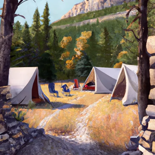
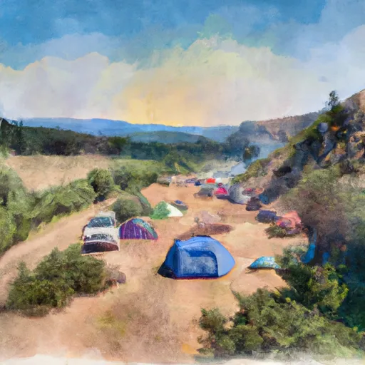
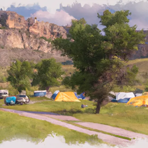
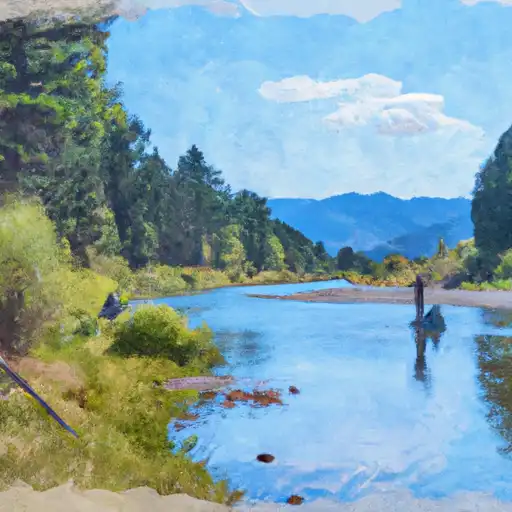
Area Campgrounds
| Location | Reservations | Toilets |
|---|---|---|
 Squaw Rock
|
||
 Stony Cabin
|
||
 Stony Campground
|
||
 Cy's Place
|
||
 Morrison Camp
|
||
 Bighorn Campground
|
 Rock Creek
 Stewart Lake Picnic Area
 Burnt Fork Bitterroot River
 Sunnyside Fishing Access
 Badger Bay Fishing Access
 Comers Point Fishing Access